Benbecula: The flatlands of the Western Isles

Beach Benbecula

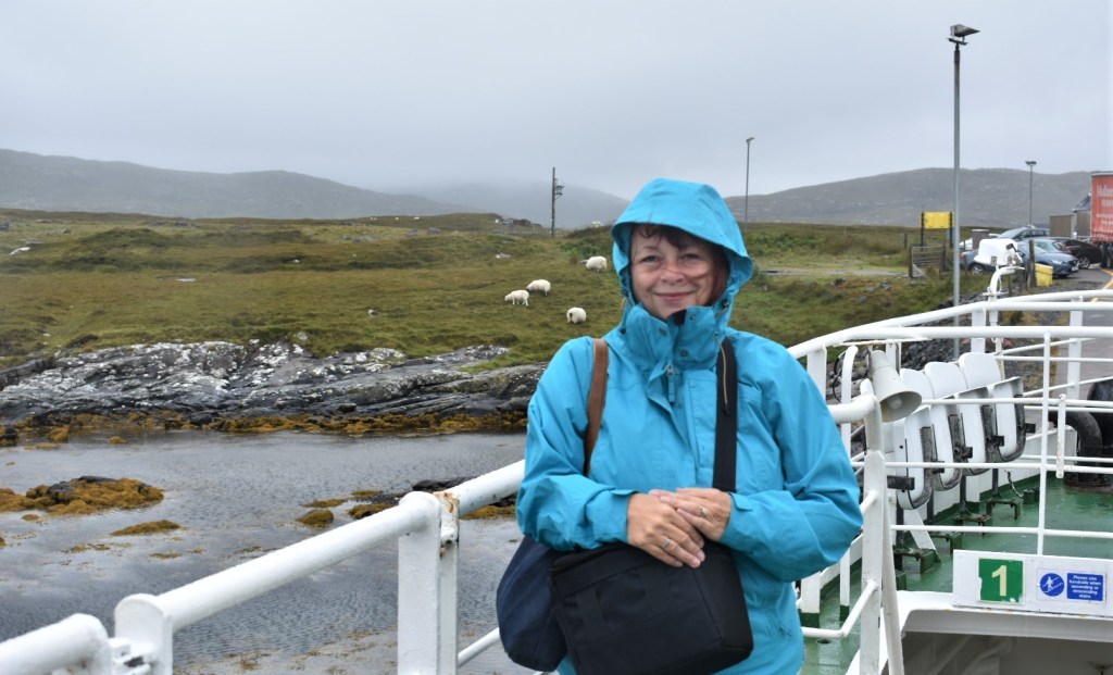
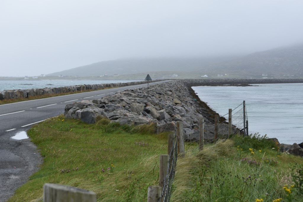
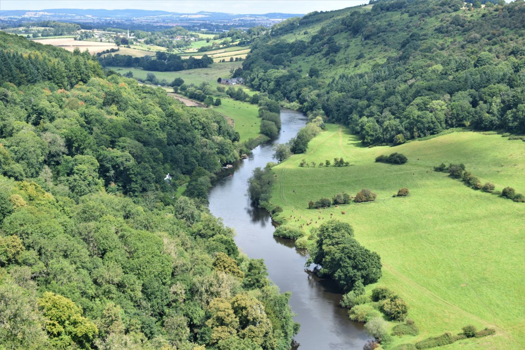
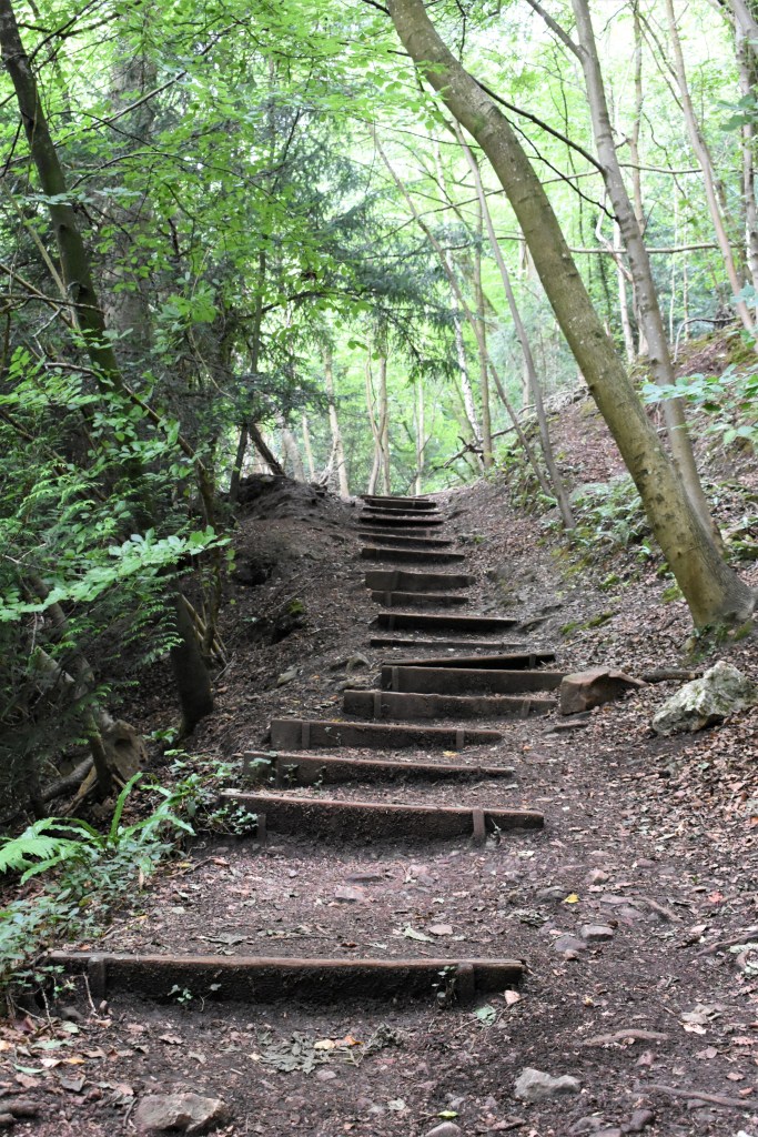
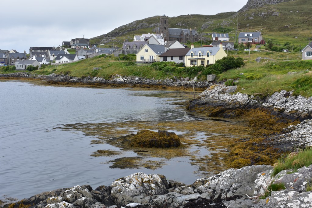
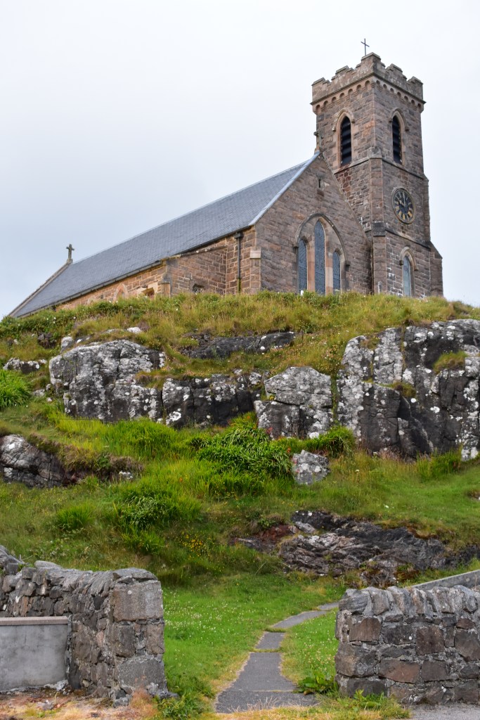
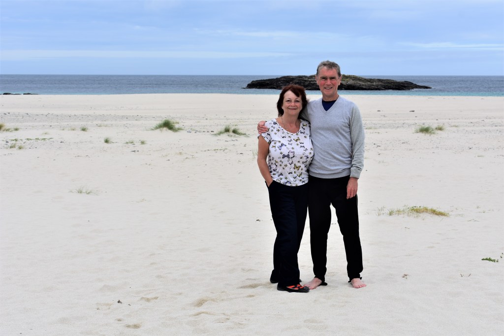
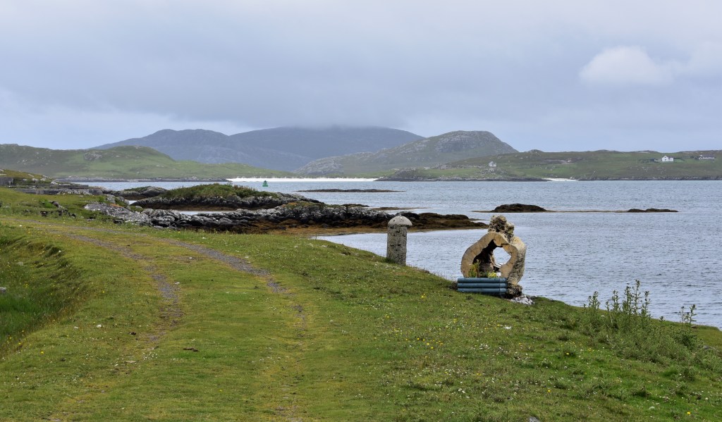
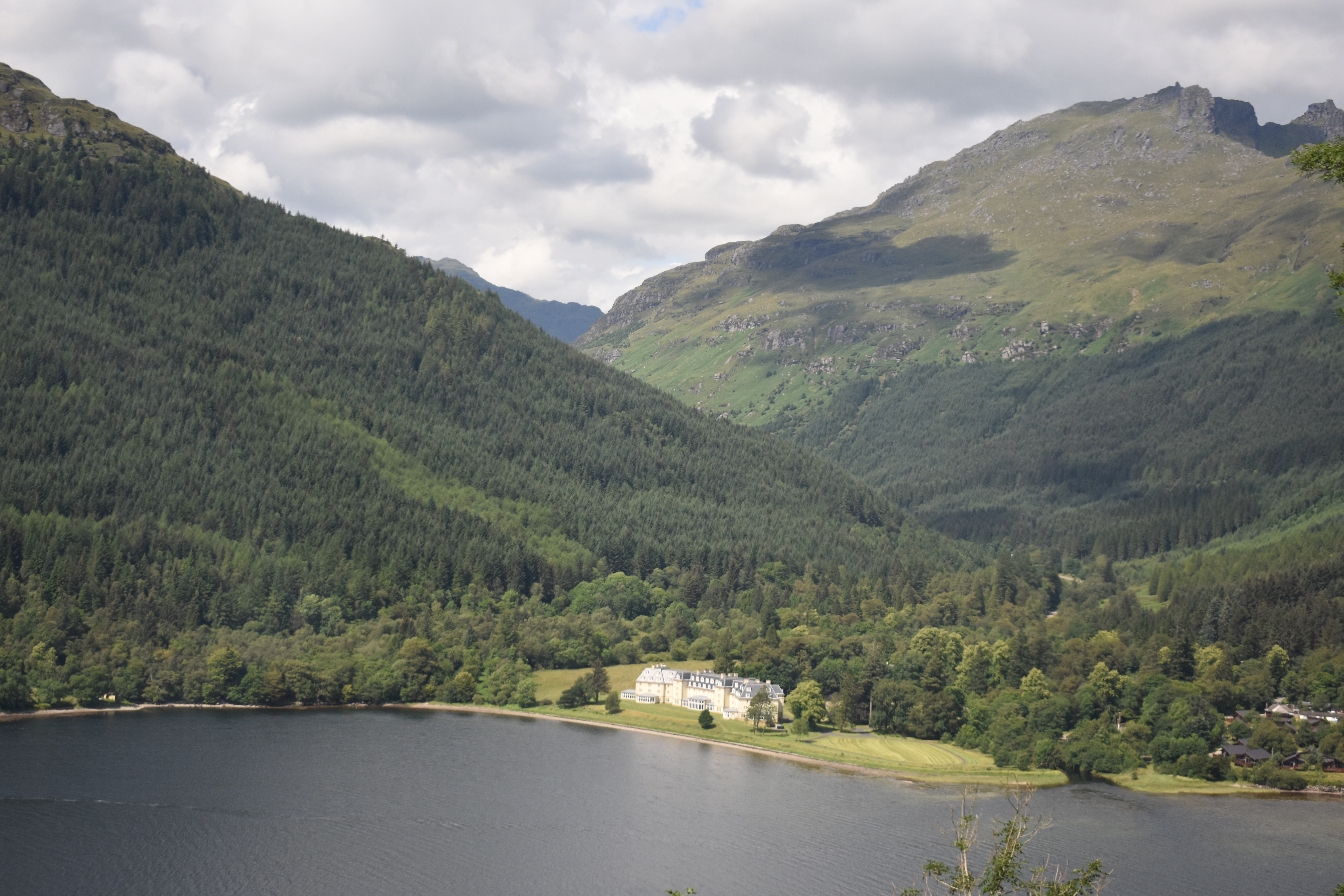
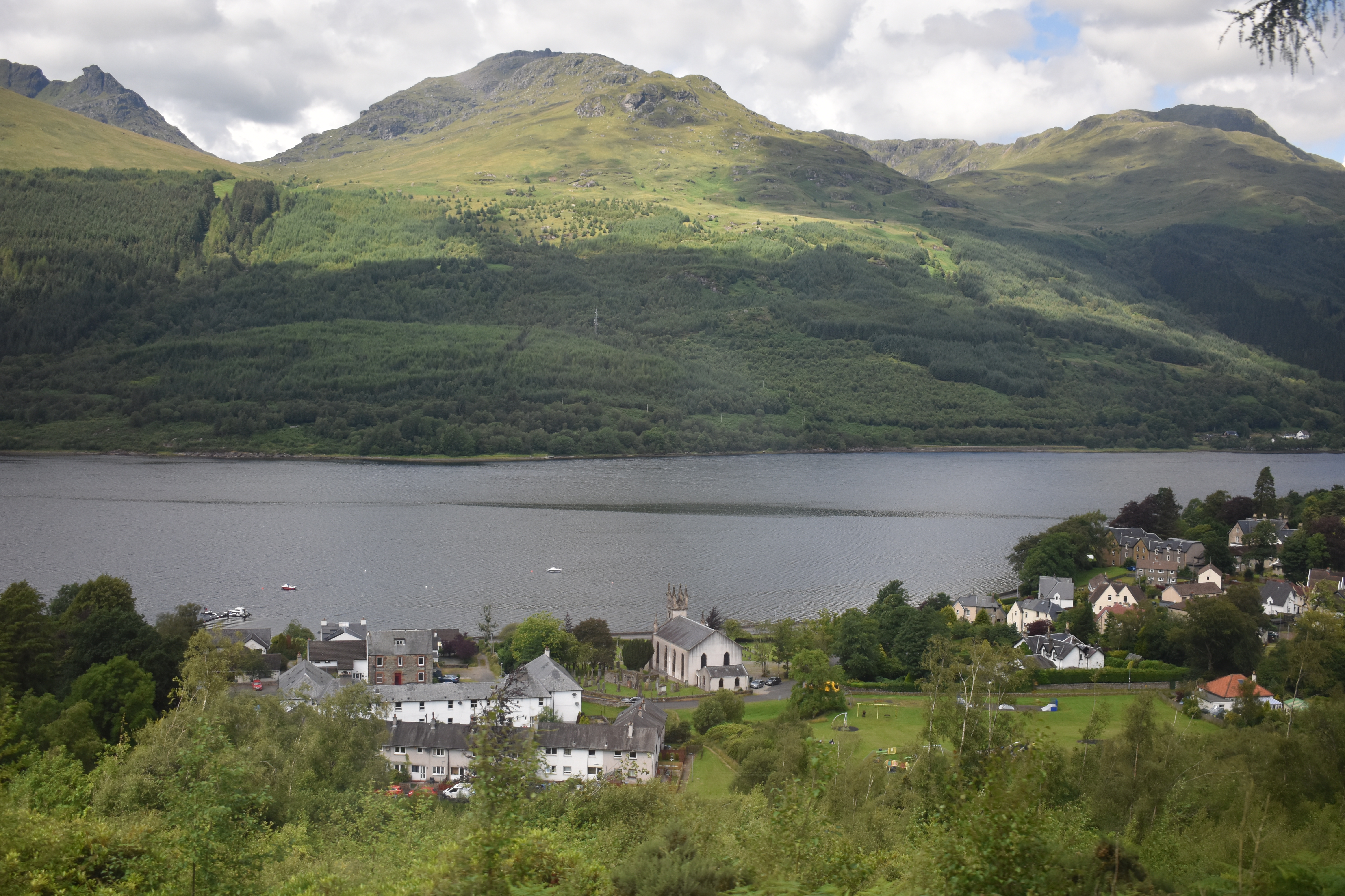
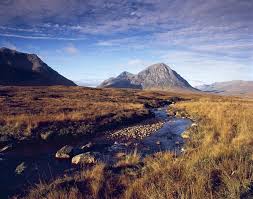
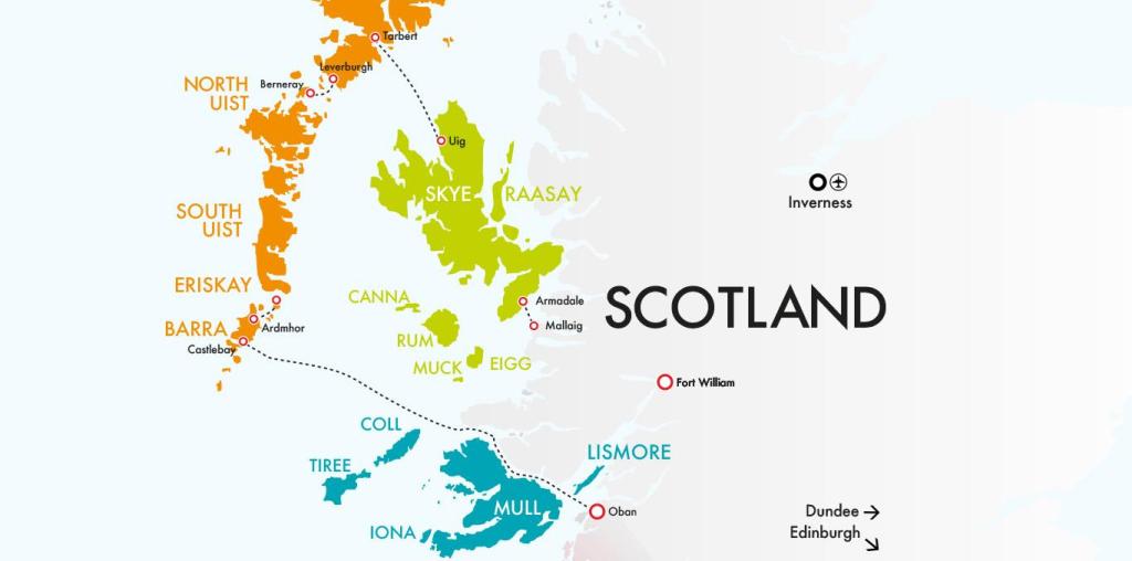
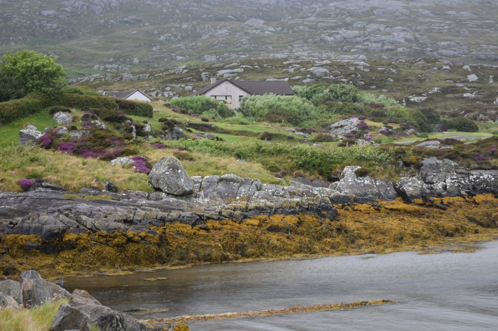
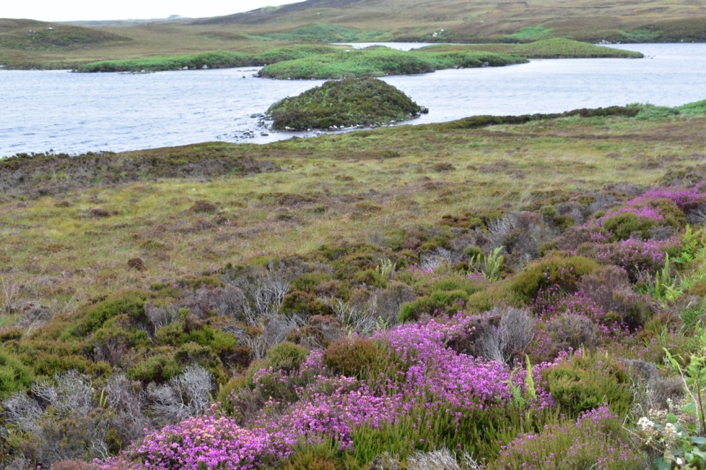
After our short visit to Eriskay (see previous blog), we drove over the next causeway to South Uist.  I loved the rocky landscape that greeted us here. We just had to stop and take some photos.  

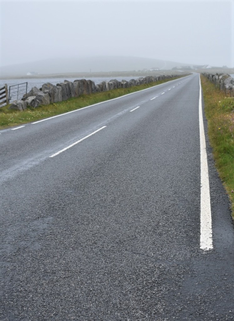
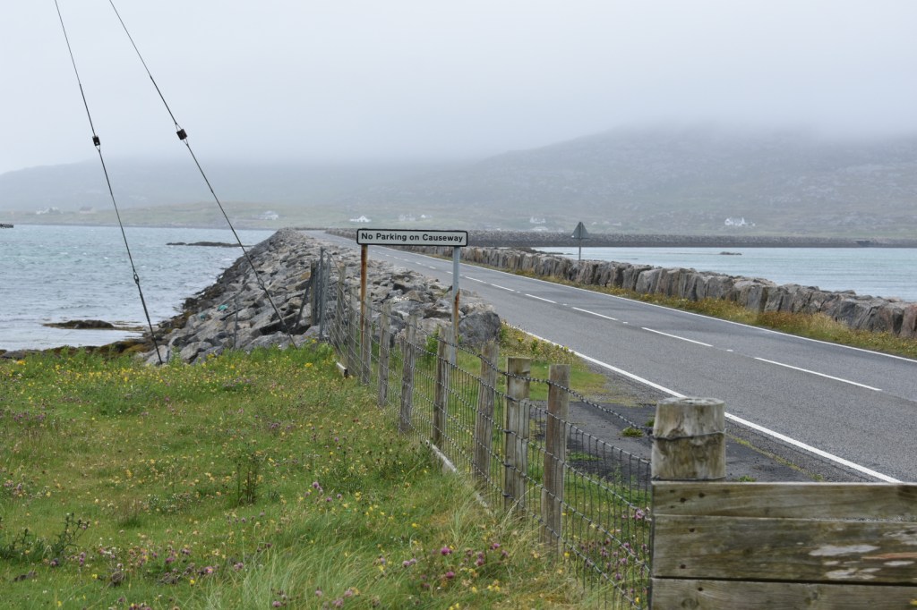
As it was raining and as the visibility was poor we decided to continue on to find our accommodation in Benbecula and not to stop along the way. This meant following the main road and travelling over more causeways. We stayed in a beautiful B&B on a croft. We were welcomed with tea and cake which was just what we needed after our journey. 

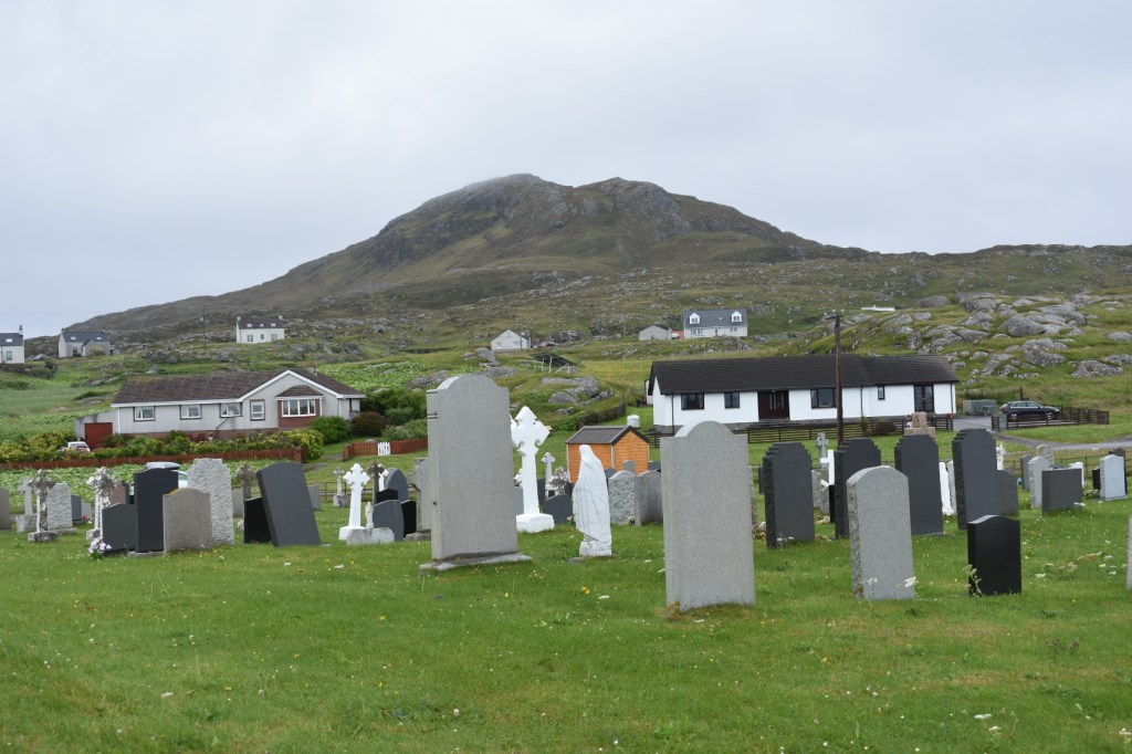
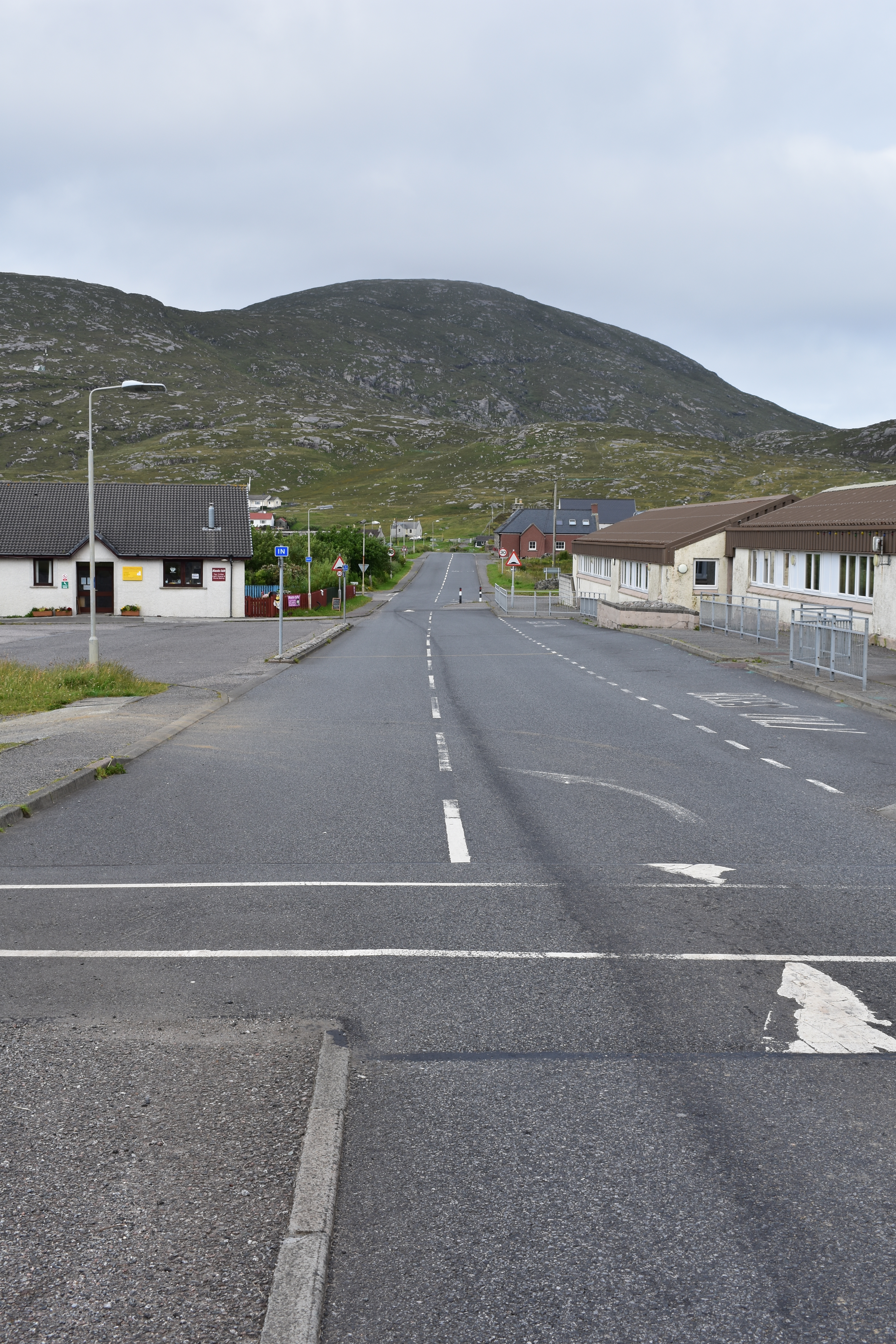
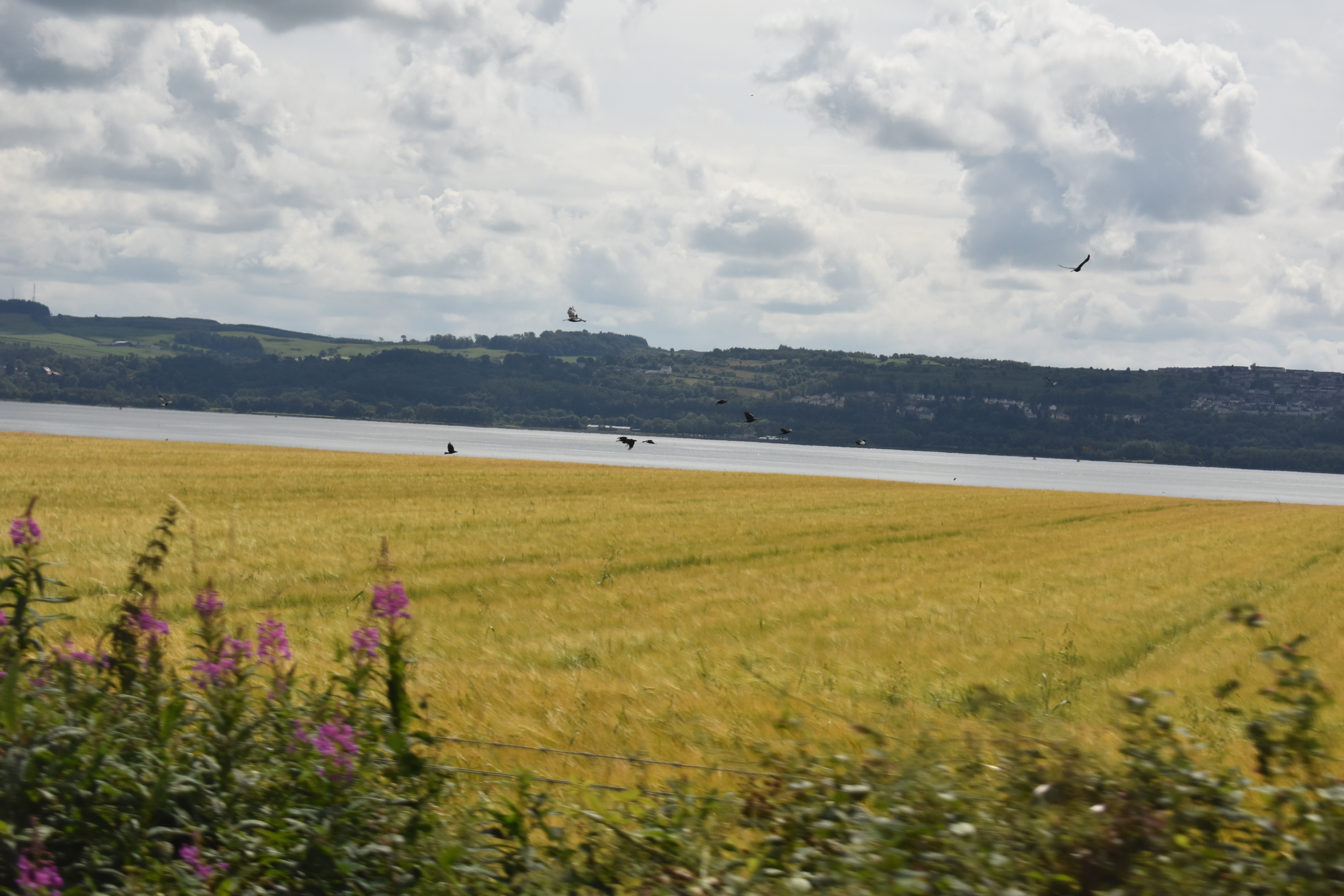
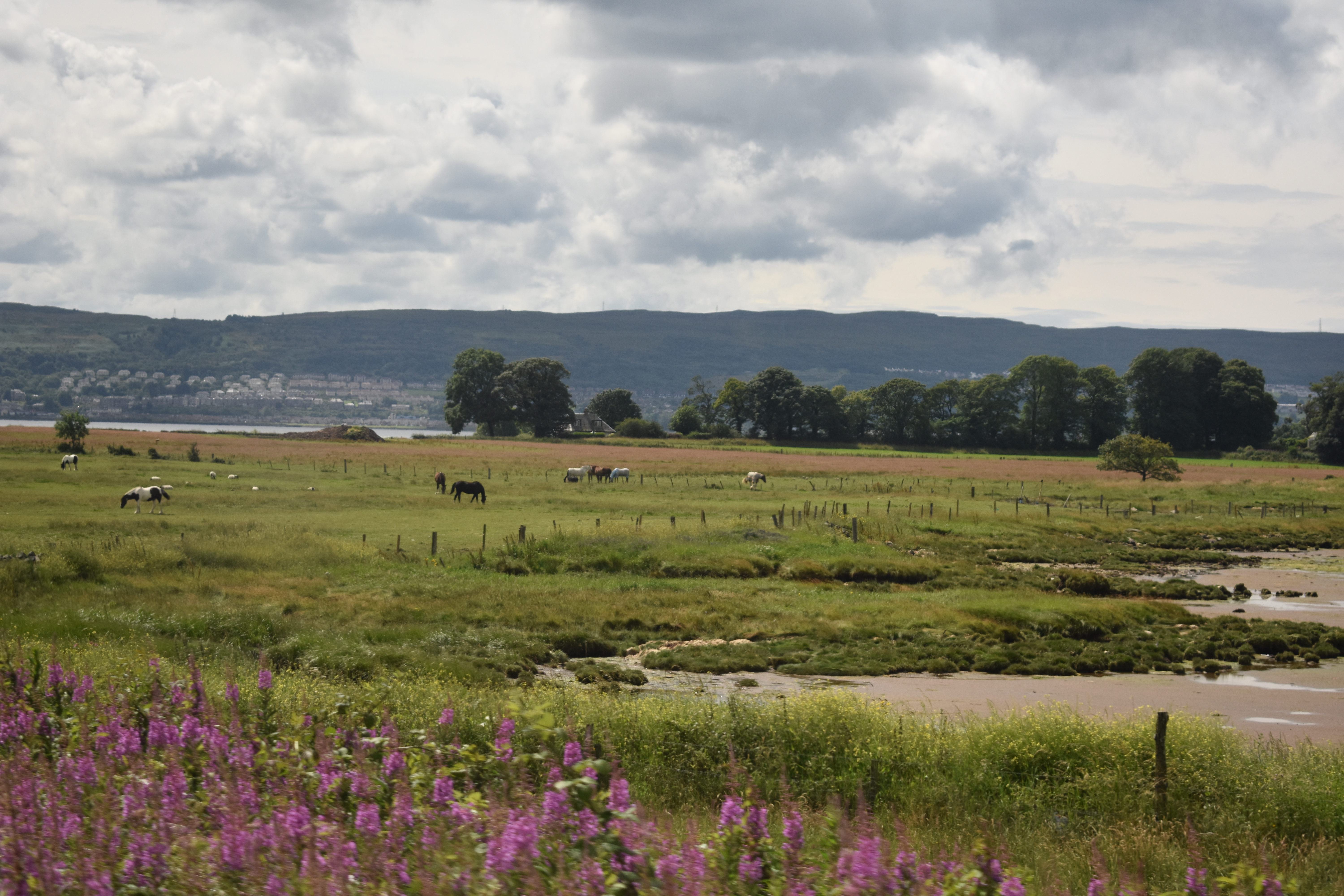
The landscape of Benbecula was very different to the landscape we had encountered  in the other islands of the Western Isles. It was flat and reminded us somewhat of East Anglia in England.  On a clear day you can see for miles in every direction, though when we arrived, low clouds reduced visibility to about 50 metres!

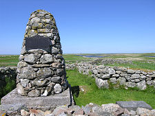
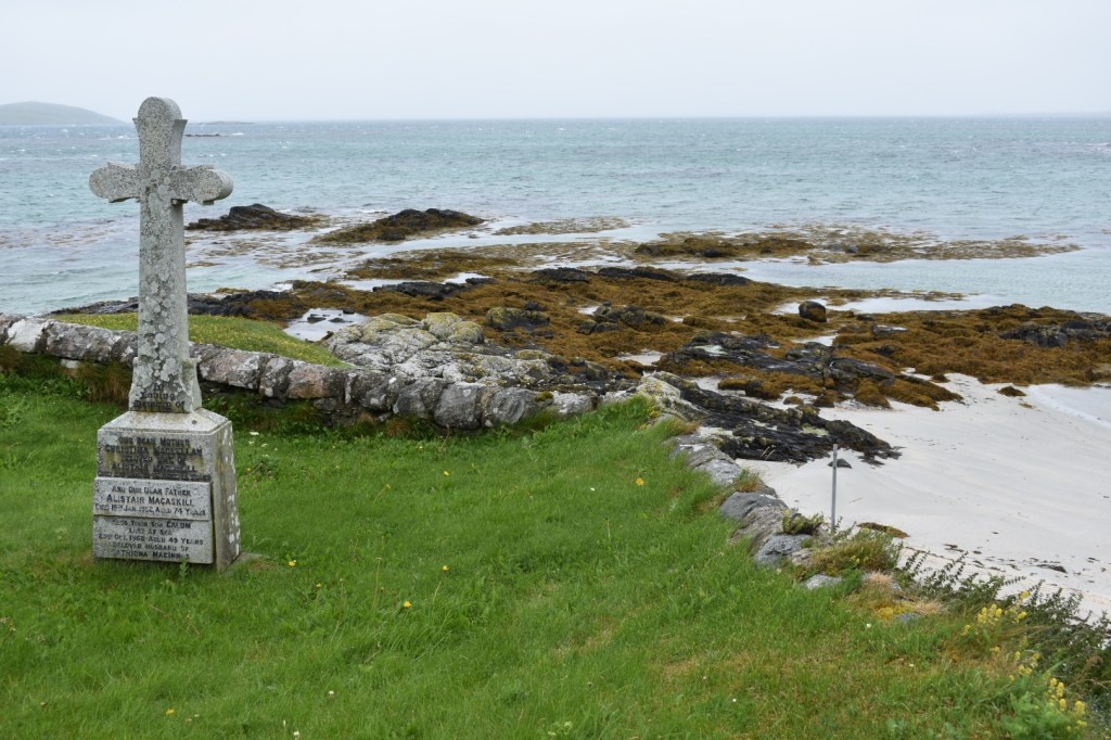
South Uist is the birthplace of Flora Macdonald who famously helped Bonnie Prince Charlie escape capture after the failed rebellion of 1745/6.  We had planned a short stop at the Flora MacDonald memorial which was on the route to our B&B.  However, visibility was so poor we missed the signs for the memorial and later almost missed the turn off for our accommodation! 

Travelling in Benbecula

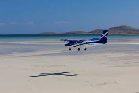
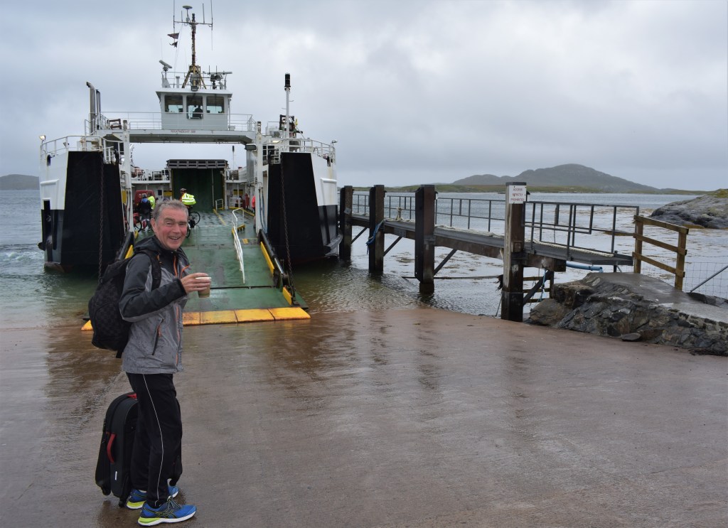
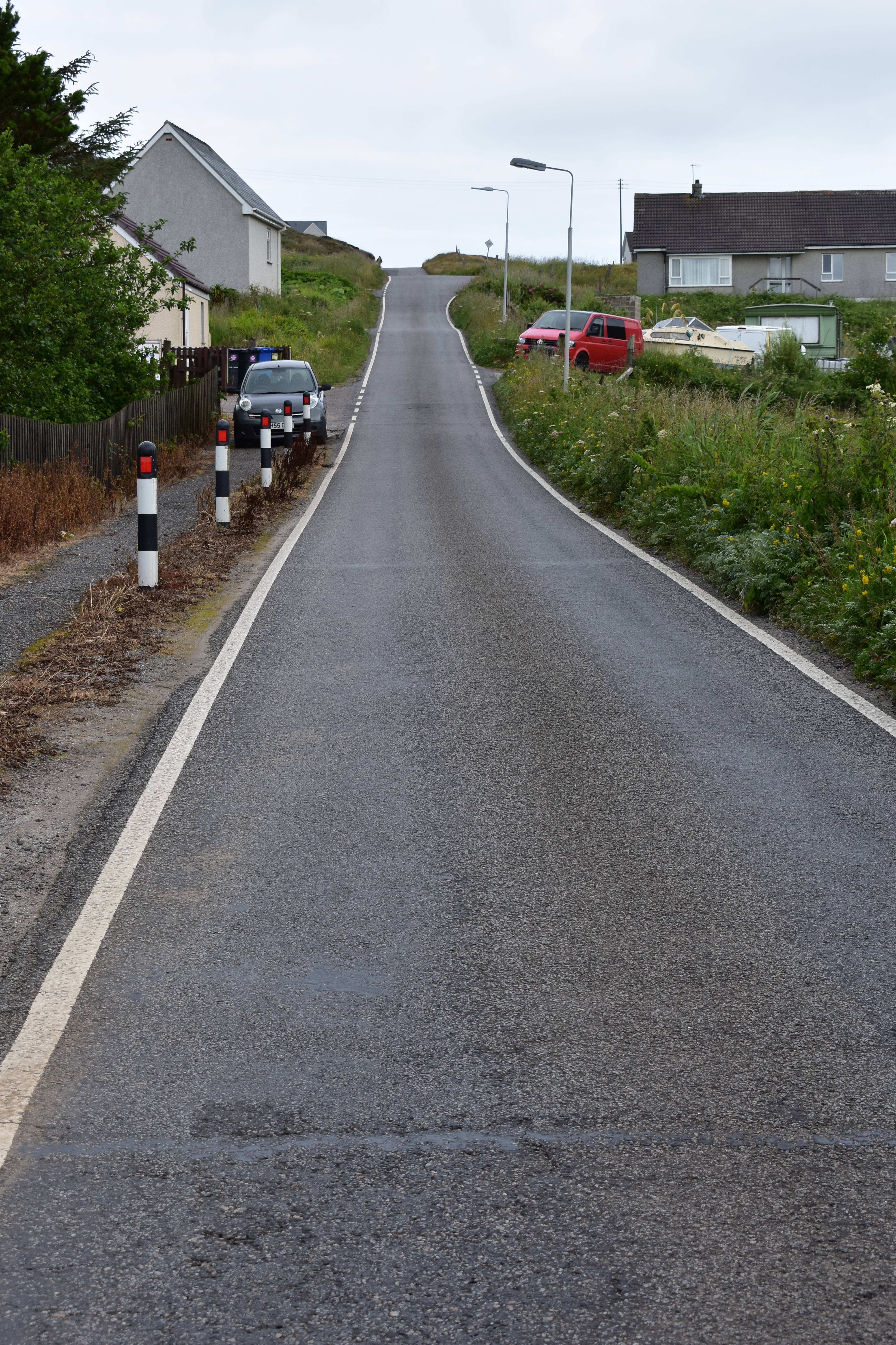
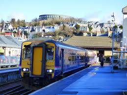
There is a small airport in Benbecula.  Scotland’s airline, Loganair, operate flights to Stornoway, Inverness, Glasgow and Edinburgh.  There’s a little cafe here that is popular with locals as well as travellers.  The only other way to get to Benbecula is by road via South or North Uist. There is a bus service, but if you are used to the busy, frequent service of a big city, you’ll be disappointed. Buses do not operate on Sundays. Benebecula still respects Presbyterian traditional values. Keeping the Sabbath holy and bus free is one of them.  It is worth knowing if you are here for a weekend and wish to use public transport. We were glad that we had chosen to a hire car for this part of our trip! 

Walking in Benbecula

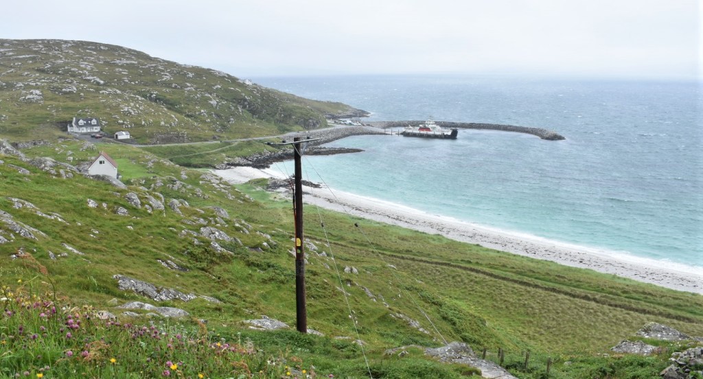
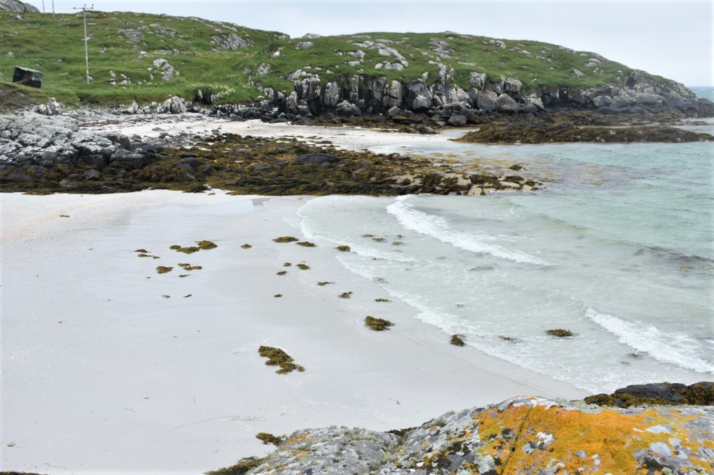
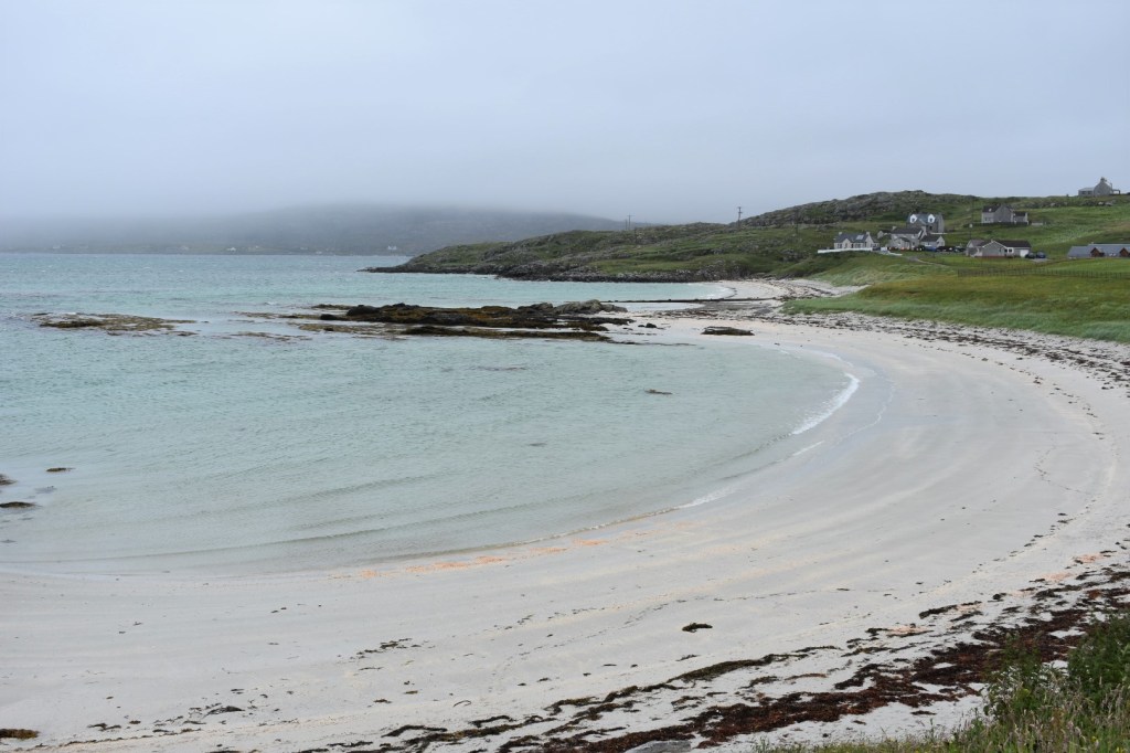
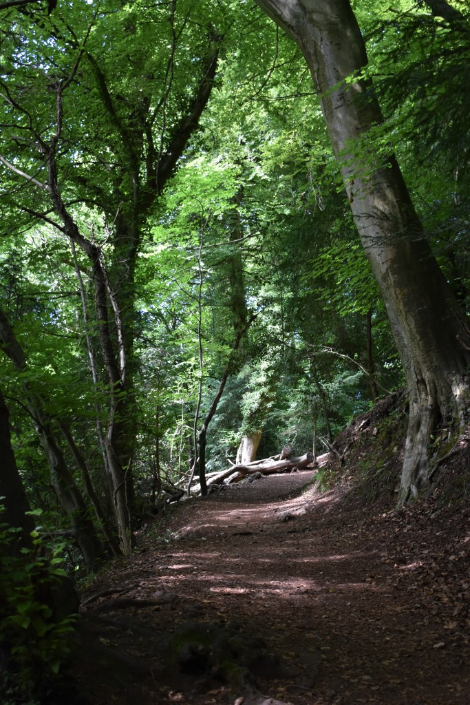
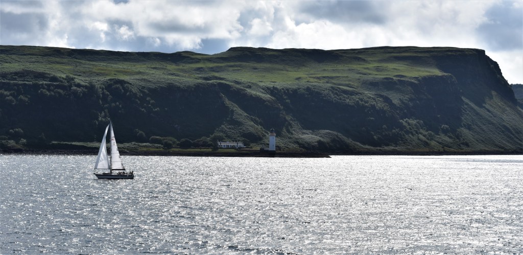
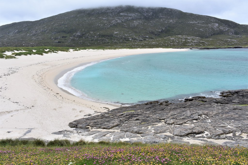
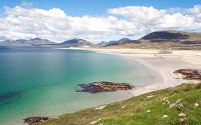
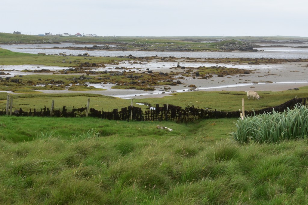
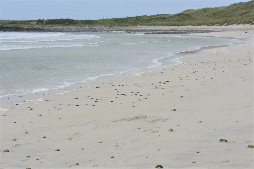
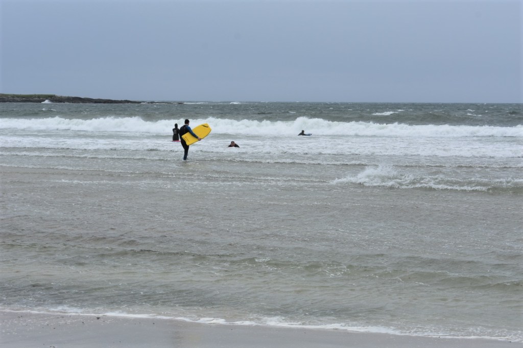
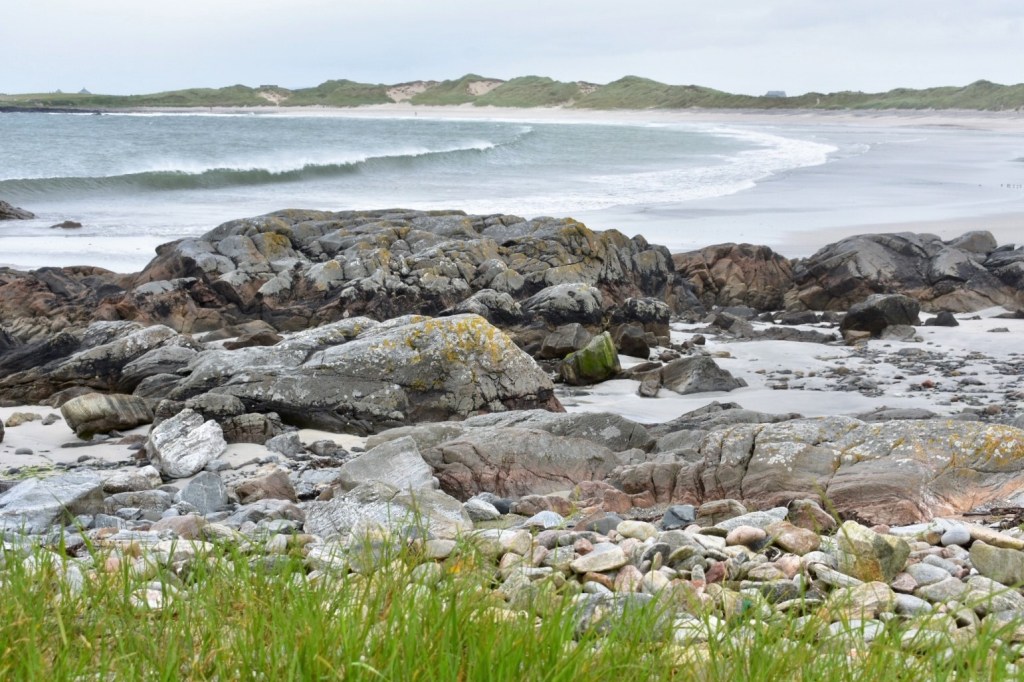
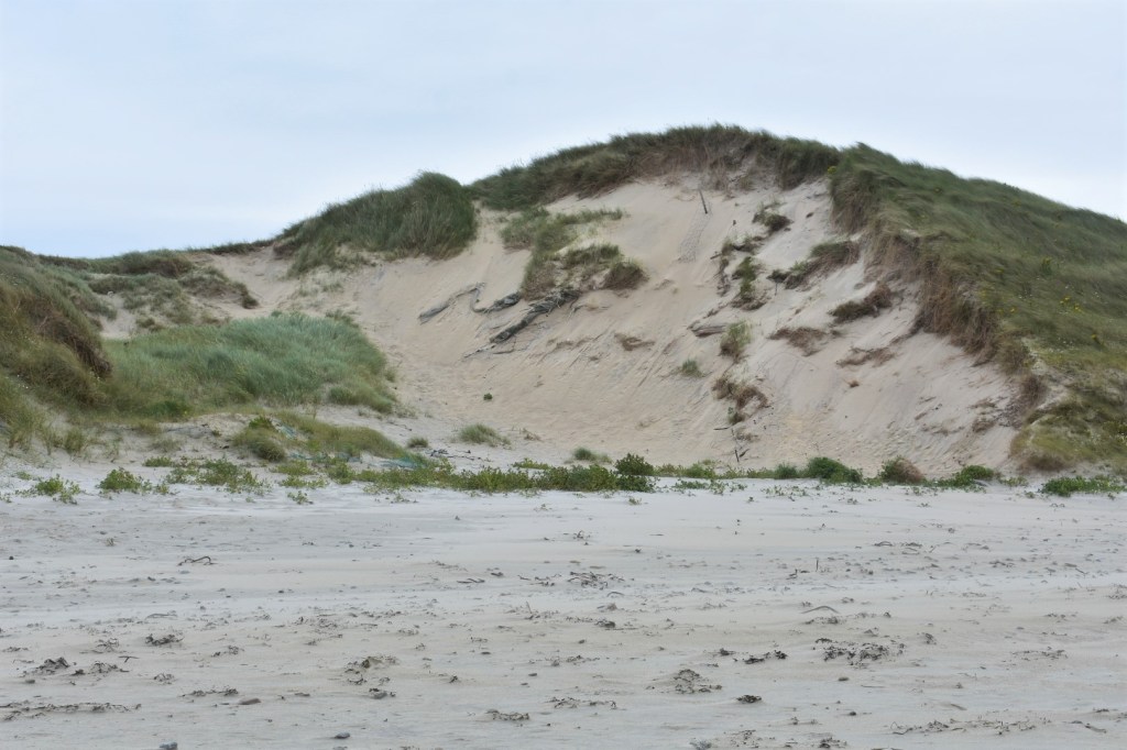
There are many scenic walks along the beautiful coastline around the island.  We discovered a lovely beach with sand dunes and white sand: it was Cula Bay. The bay is popular with surfers and it was only a short distance from where we stayed. It was remarkable to see surfers braving the Atlantic waves so far north, but the Gulf Stream makes the sea temperature quite mild.  For experienced surfers, the Atlantic breakers of Benbecula make the island’s surfing amongst the best in Britain, if not the world! 

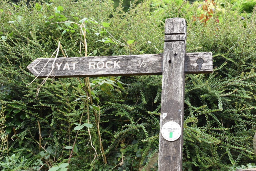
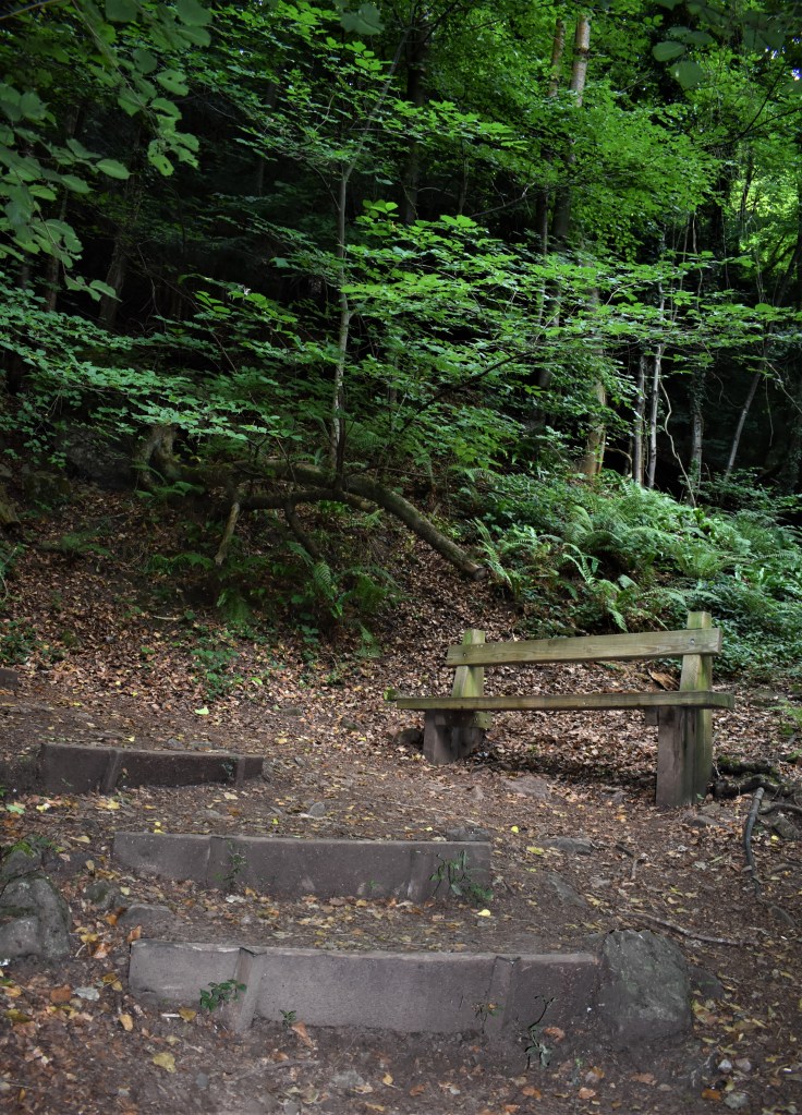
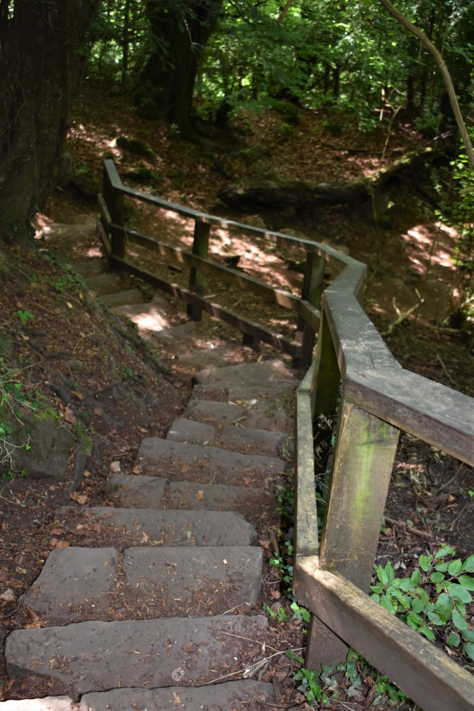
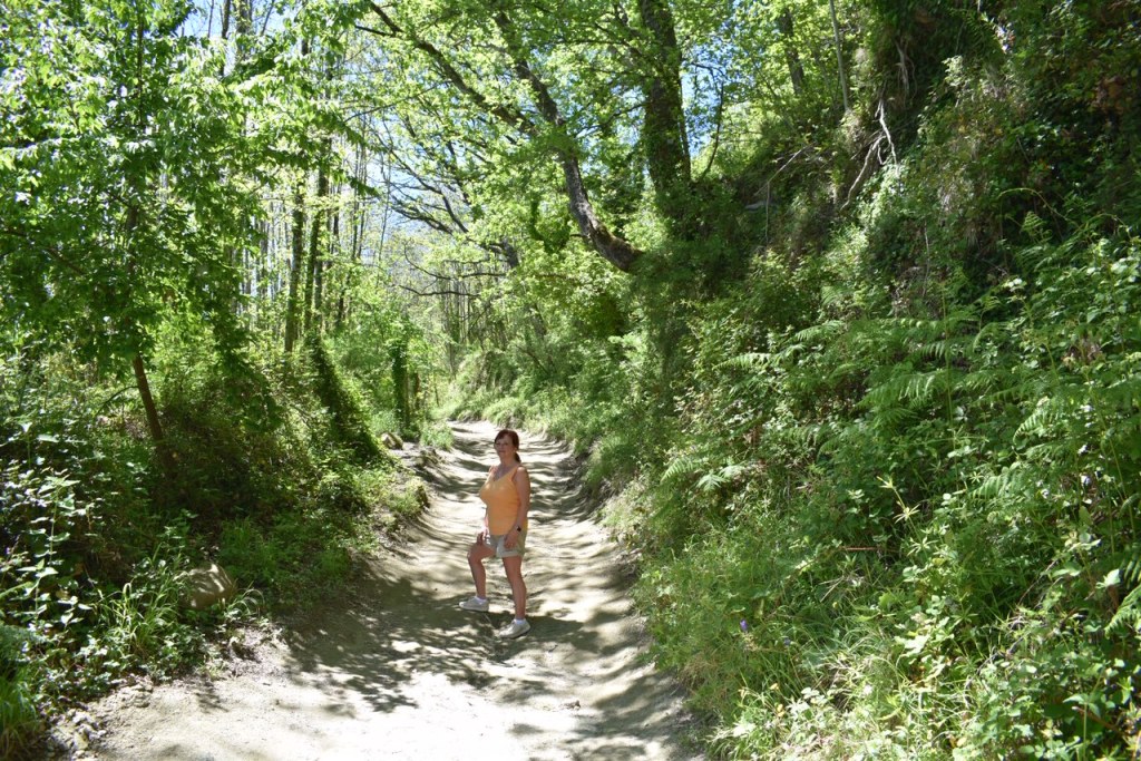
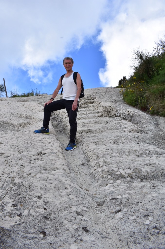
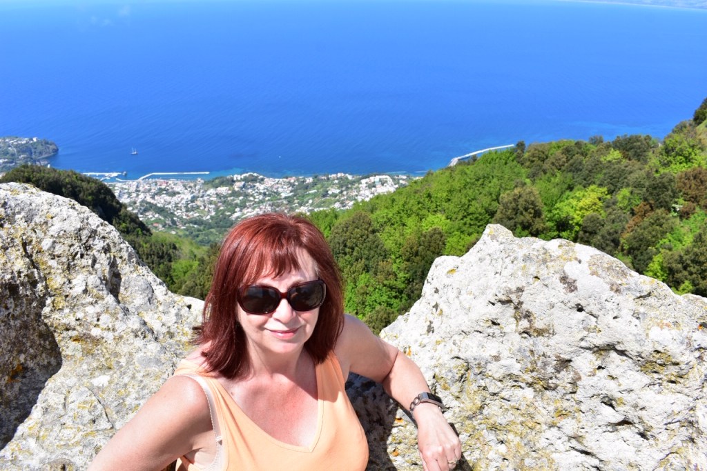
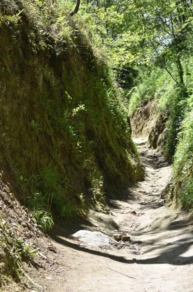
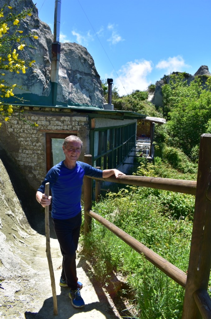
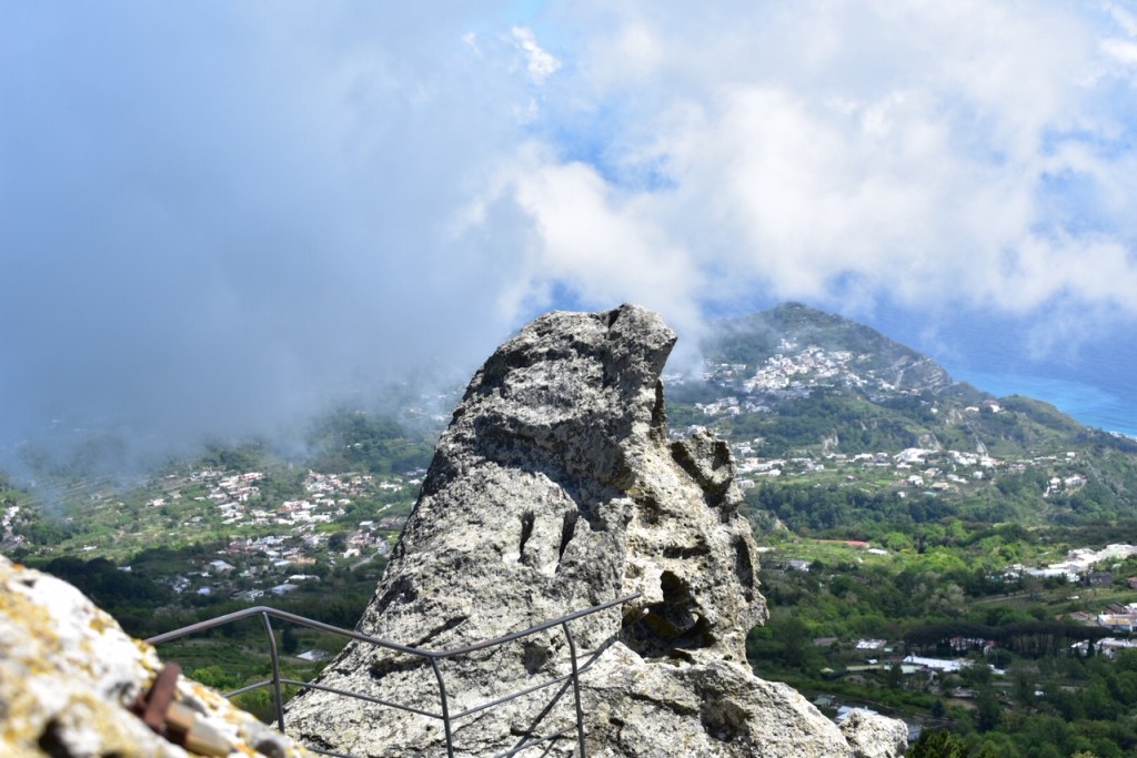
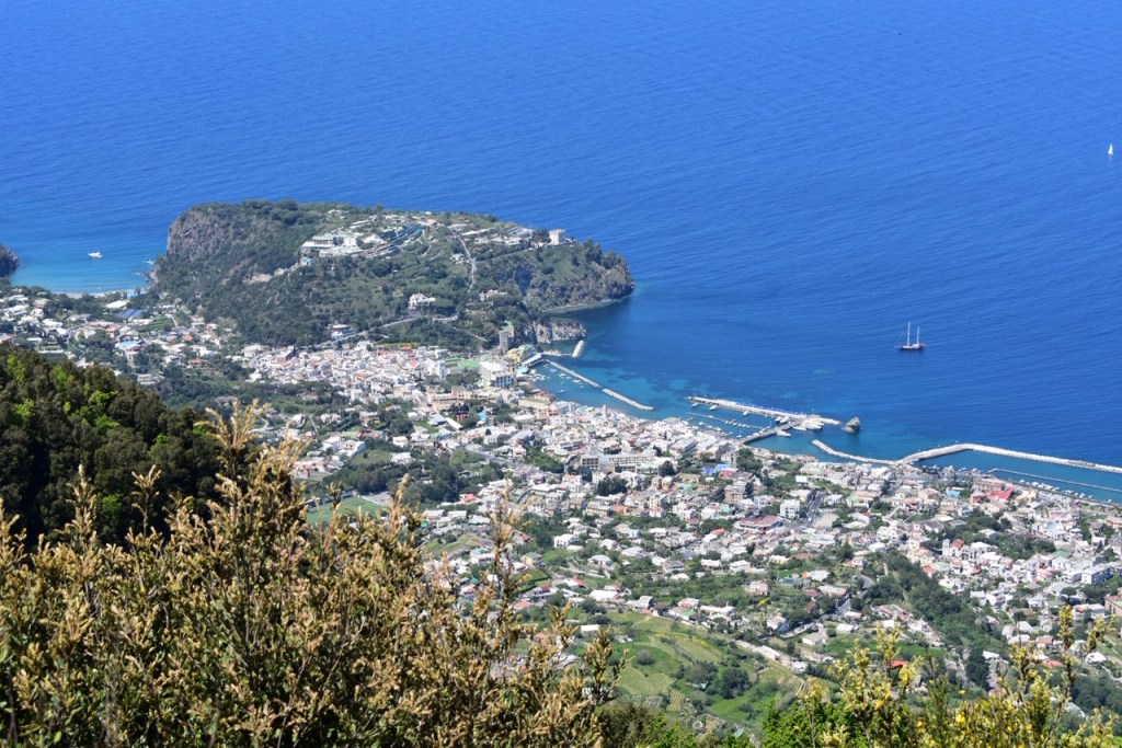
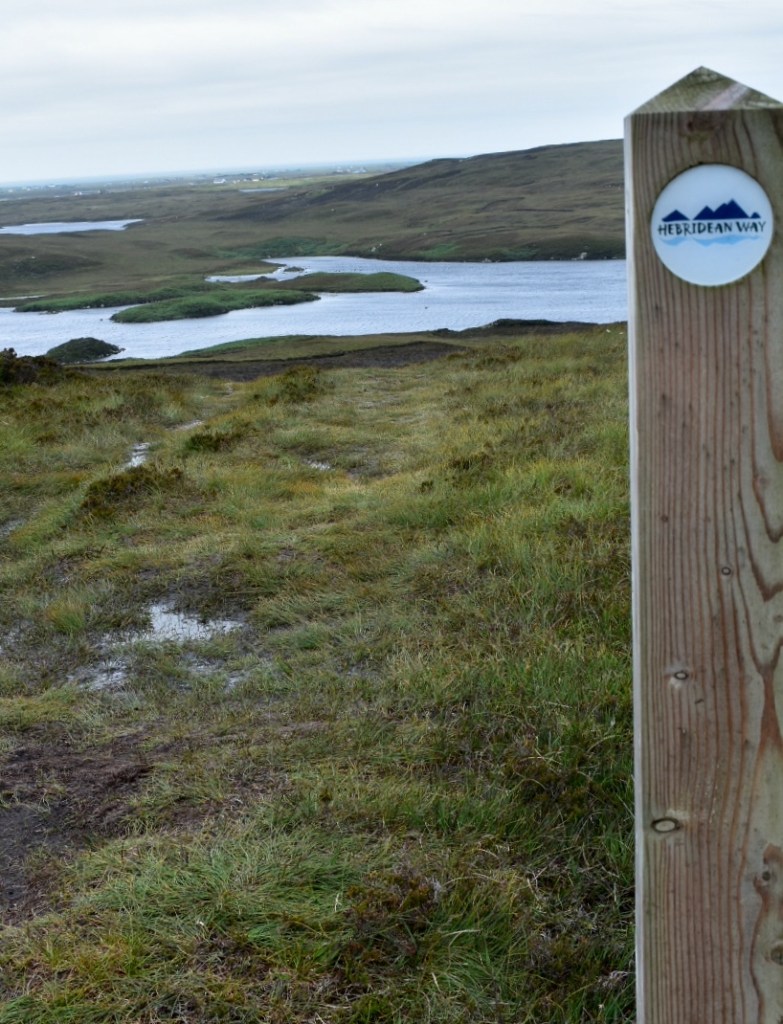
On a very windy day we decided to climb the Rueval, the highest point in the island.  At 124m high, it rises from sea level to give extraordinary views up and down the Outer Hebrides.  We drove to Market Stance and took the path to the summit.  It is claimed, that the cave where Bonnie Prince Charlie is said to have hidden whilst waiting for Flora MacDonald to arrange his escape, is on this walk. We met a few walkers on the way including an 84 year old lady who did the walk every day.  She was a hardy type, born and bred Benbecula, and no amount of wind or rain was going to stop her!  

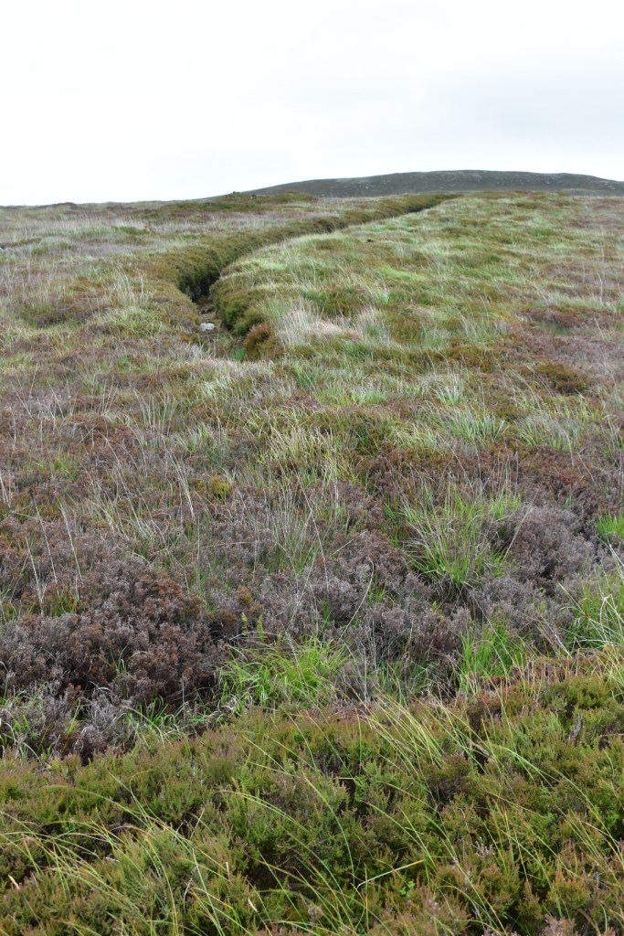
Peat is still gathered for fuel on the island.   It was fascinating to see it cut up and drying out at the side of our path along the walk.

Eating Out

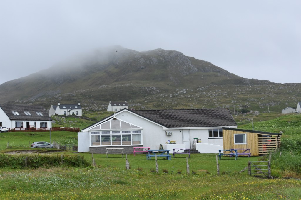
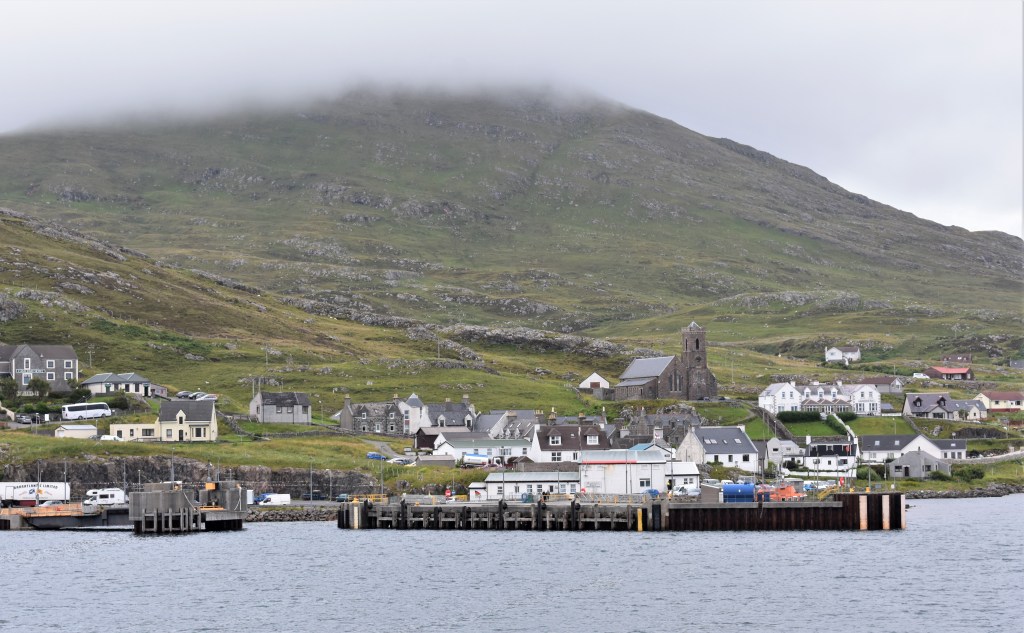
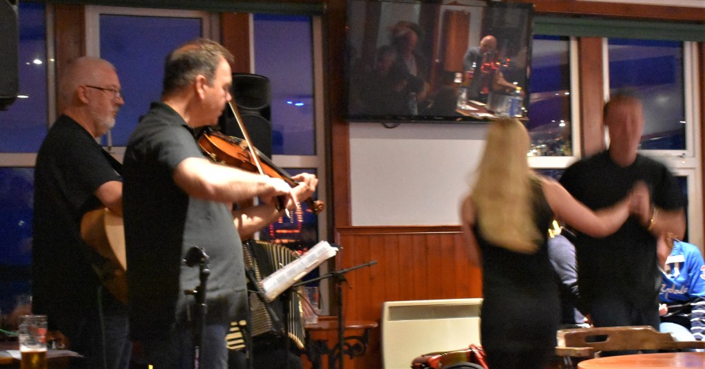
Benebecula was the quietest island of the islands we visited on our holiday. As such, there was only a limited choice of places where to eat. We stayed in the Balivanich area, near the airport.  Here, there are two restaurants to choose from, The Stepping Stones and Charlie’s Bistro. A little further south was the Dark Island hotel where you could go for a meal or a drink in the bar.  All three places were good and not too expensive but you may have to book a table in The Stepping Stones and Charlie’s Bistro in the busier summer months.

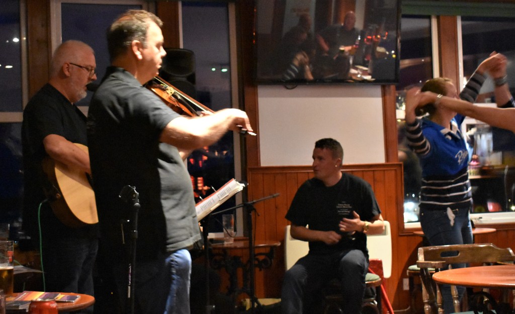
We didn’t find any pubs on the island, though we were told one bar opens up at weekends in the town of Balivanich. Lunch time you could try the airport cafe or the nearby riding school which provide teas, coffees and sandwiches at reasonable prices.

The Military Presence in Benbecula

The more observant traveller to Benbecula will soon become aware of the island’s military connections.  The island is a key centre of the North Atlantic, NATO communication system. Though discreetly hidden away, the island is the home for military radar stations,  NATO personnel from various countries often visit the island for combined operational exercises. So it is quite possible some of those Canadian, Dutch or Italian “tourists” you meet, are in reality military communication experts having a quiet break from an intense military operation!

History – Nunton Land Raids

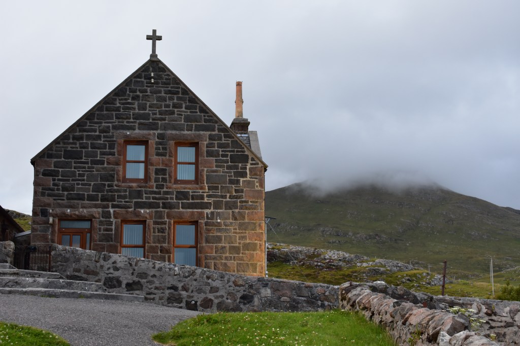
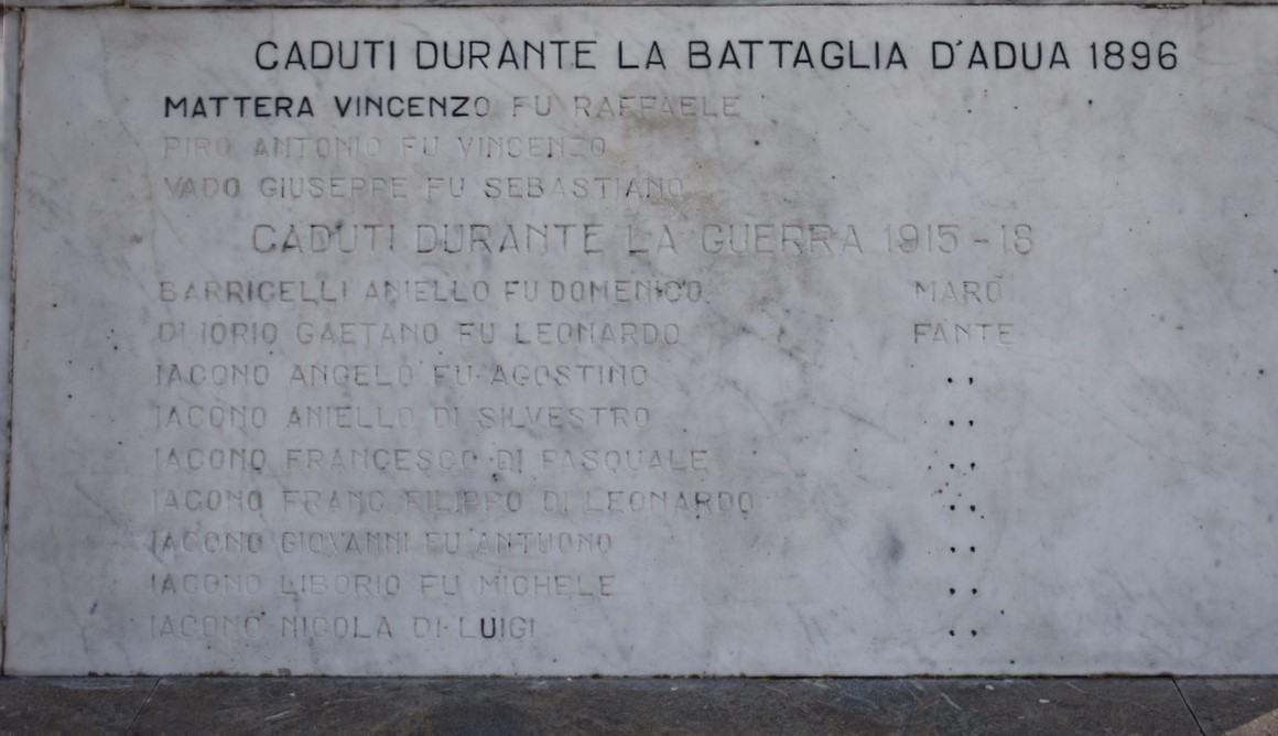
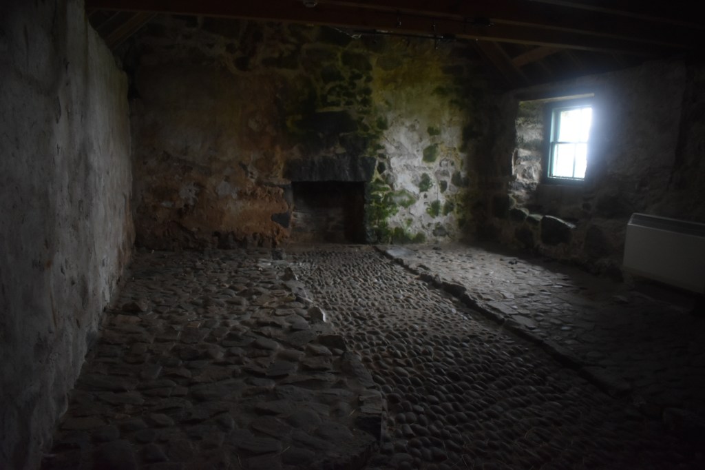
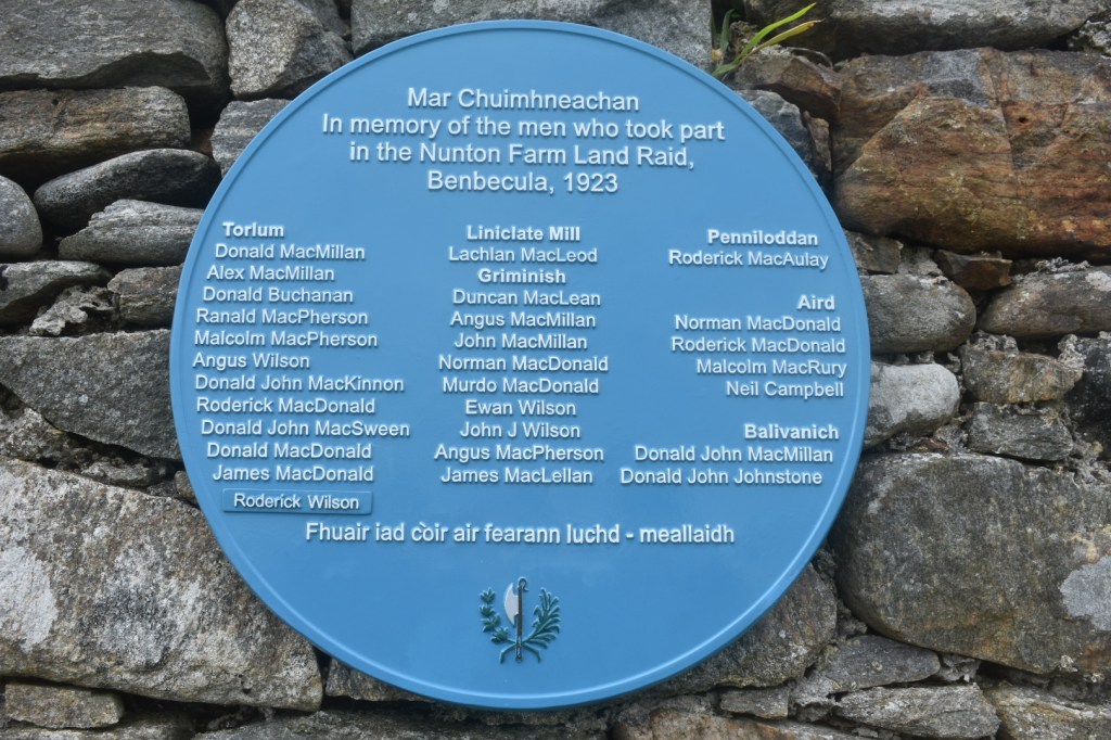
The Highland Clearances were one of the saddest episodes of 18th and early 19th century Scottish history.  Landlords removed crofting families from their estates to make way for more profitable sheep farming. Government legislation in the mid-19th century stopped the worst excesses of the Clearances but land ownership remained a bitterly contested subject into the 20th century.  Some soldiers returning from the First World War took matters into their own hands and occupied crofts that they believed to be rightfully their property. Such actions were called “Land Raids” and one of the most famous land raids was the “Nunton Farm Land Raid” of 1923. There is a plaque on an old building near our B&B commemorating this event.  Even today, the subject of crofting rights brings back bitter memories of past injustices to islanders.  

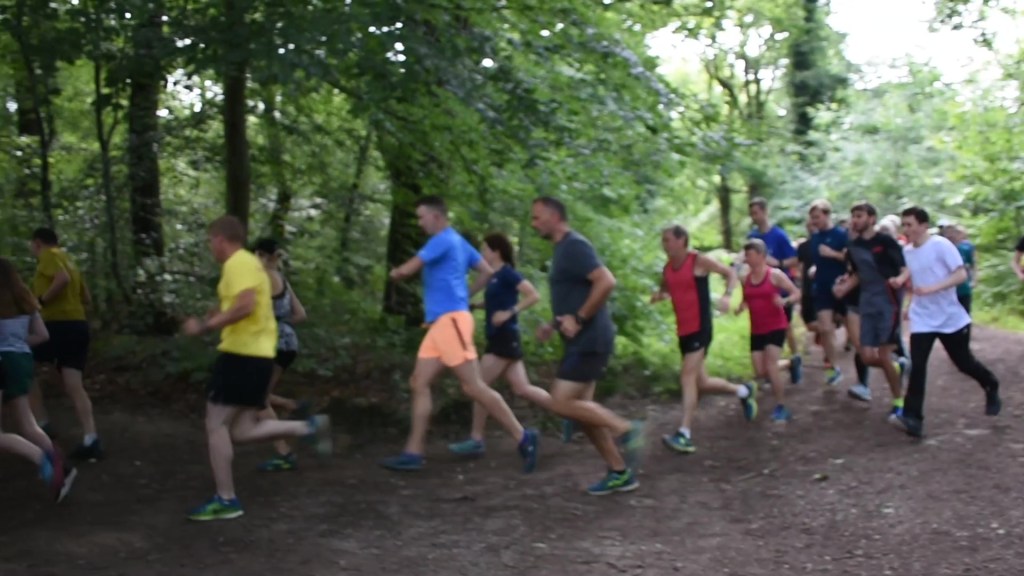
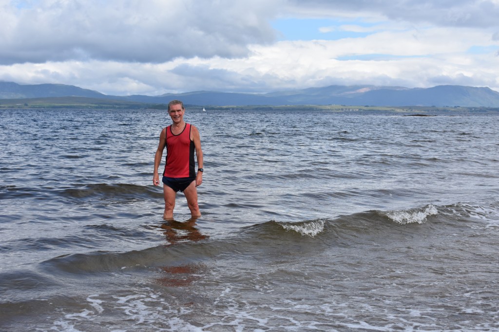
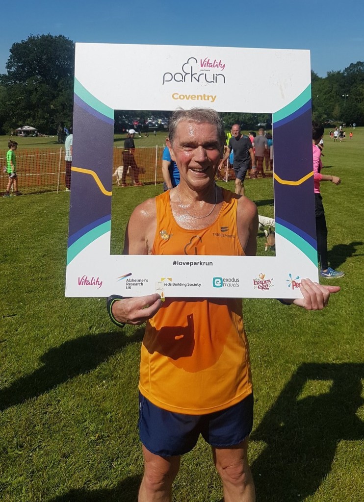
Running in Benbecula

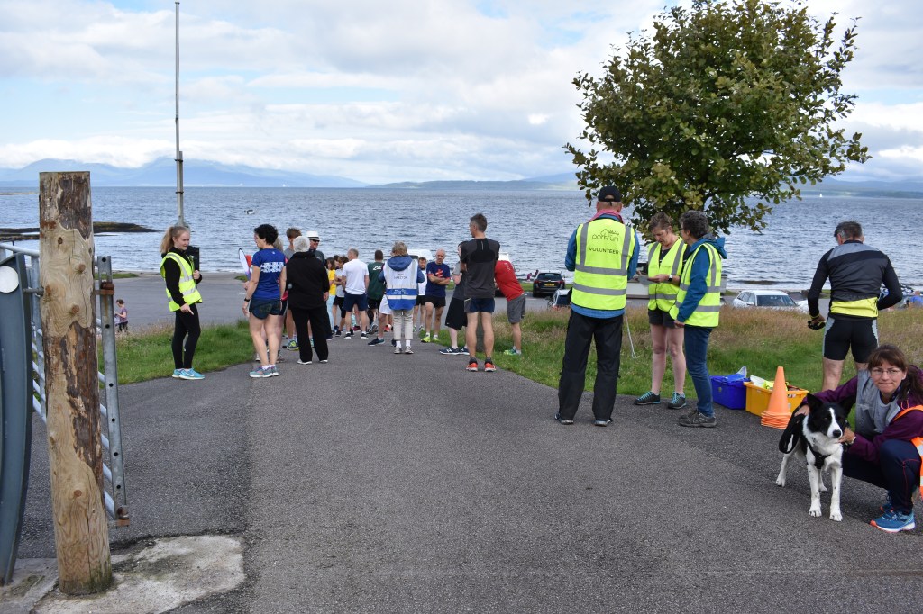
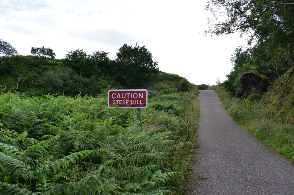
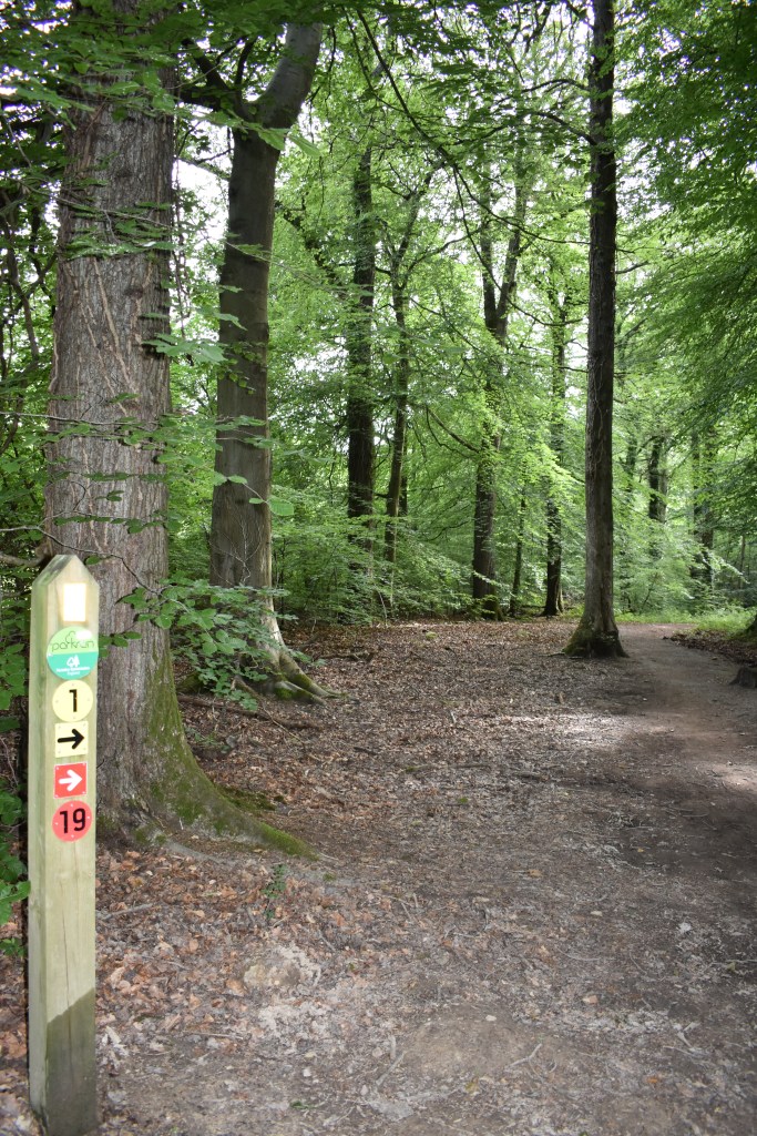
There is no parkrun in either South/North Uist or Benbecula as the islands have such small populations.  On the positive side, the low population means that the quiet roads provide an excellent training ground.  The flat terrain is an added bonus for those used to the strain of constantly running up hills! 

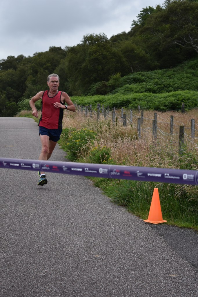
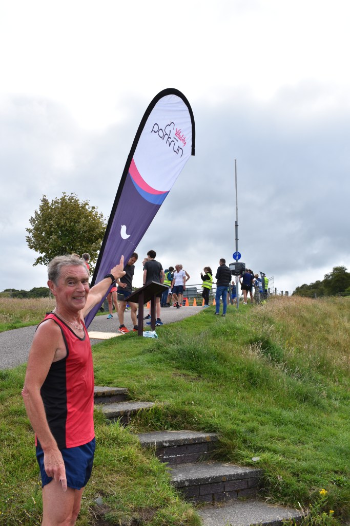
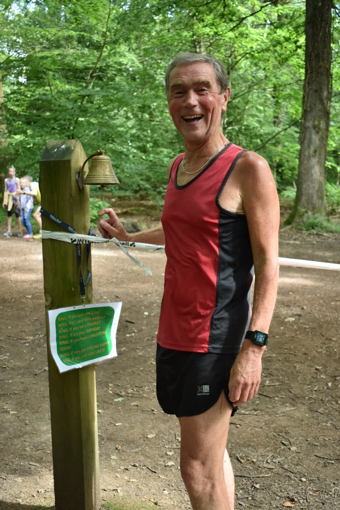
There is an annual half marathon race in June and a 10K race in the Spring.  Both races get booked up quickly so enter early if you are thinking of taking part. The half-marathon is one of the 5 Western Isles half-marathons.  If you run 3 of these half-marathons you will qualify for the prestigious HEB3 award. What a fantastic way to spend a summer: running the Hebridean islands!  Click here for more details.

We would love to hear your thoughts in the comments section below. Please share with anyone you think may be interested. See you again soon!

Eriskay and the missing 10 shilling notes

About 4 square miles in total, Eriskay is one of the smaller islands of the Outer Hebrides.  Though the island has been connected to its larger neighbour South Uist by a causeway since 2001, the island still maintains its independent character.  Our second ferry journey on the Calmac Hopscotch 23 route was a short 40 minute ferry voyage from Barra to Eriskay. It was another opportunity to meet and talk with fellow travellers and another opportunity to scan the seas for passing sharks and seals. Travelling on a Hebrides ferry is a real pleasure.

We decided to hire a car for this part of our travels through the Outer Hebrides. We picked up the hire car at the ferry port and arranged to leave it at the ferry port in Berneray a few days later. Our plan on arriving was to set off on a 1.5 mile circular walk which started at the ferry terminal.  The walk would have taken us along Prince’s Beach where Bonny Prince Charlie landed in 1745 at the start of his forlorn adventure to regain the British throne for the Stuart family.  The walk would have taken us past Eriskay’s remarkable Catholic church, built by local people using local materials towards the end of the 19th century. The church contains remains from both the first world and second world war within its structure.  The altar sits on top of a lifeboat from the WW11 aircraft carrier, the HMS Hermes and the bell comes from the German battle cruiser, the Derfflinger which was scuttled in 1918.

Here is a link to further information about the church: St Michael’s Church

The route of our planned walk can be found in Paul and Helen Webster’s book: The Outer Hebrides: 40 Coast and Country Walks

Unfortunately,  the weather turned shortly after we disembarked and it began to rain quite heavily.  We sadly decided not to venture on our walk and instead headed for the comfort of the modern Politician pub.  The pub is named in honour of a ship that was wrecked on local rocks. This shipwreck gave birth to the story for which the island is now most famous  The following is a short account of that story.

Politician pub

The SS Politician floundered on rocks in the Sound of Eriskay whilst sailing to America from Liverpool during the wartime Britain of 1941. It was loaded with 264,000 bottles of Scotch whisky. Of course, the good folk of Eriskay were very happy to have crates of their favourite drink wash up on their shores.  Unfortunately, the tax man was not so happy so the next few months saw a game of cat and mouse between Government officials and islanders who were intent on protecting their illegal liquid treasure. The 1949 film ‘Whisky Galore!” was based on this incident. However, the filming took place on the nearby island of Barra, not on Eriskay itself.  Here is a link to our blog on the island of Barra:  Barra-Southern-Gem

Perhaps of equal interest, but less well known, is that the SS Politician was also carrying  290,000 ten-shilling bank notes destined for the banks of Jamaica.  These bank notes would be worth several million pounds in today’s valuation. Within a few months of the shipwreck,  these notes began appearing in mainland British banks. Evidently, they did not all sink with the ship! The question is: what happened to all those ten-shilling notes?

We may never know: perhaps they should make a film about this too? 

In preparation for our trip we thought we should watch the film. If you are in the UK you may still be able to watch the black and white 1949 film Whisky Galore! on BBC iplayer.  It made us chuckle and we would recommend you watch it.

There was a remake of the film in 2017 starring Eddie Izzard. We watched this too, but must admit to liking the black and white 1949 version best.

We had lunch in the Politician pub. The barman allowed us to hold some of the artifacts from the grounded ship.  The locals had fun with us suggesting we hold the sword and gun to each other’s heads whilst holding the whisky!

We also made a visit to the local cemetery.  Like so many Hebridean cemeteries, Eriskay’s cemetery contains the graves of sailors lost at sea during the world wars.   Such graves are poignant reminders of how much we owe to the brave people of the past for the freedom we enjoy today. The graves are immaculately kept and such cemeteries are worth visiting for their manicured beauty alone. They also offer moments of tranquil meditation and reflection.

After our short tour of the island, we drove across the causeway to South Uist and the next stage in our journey.   You can read about this in our next blog. 

We would love to hear your thoughts in the comments section below. Please share with anyone you think may be interested. See you again soon!

Symonds Yat: England’s Secret Beauty

Symonds Yat, in the heart of the Forest of Dean, is one of the country’s most picturesque tourist  locations. Besides its natural beauty it has a wealth of activities for visitors to sample. There are actually two Symonds Yat: Symonds Yat East and Symonds Yat West, two small hamlets which face each other on opposing sides of the River Wye. 

There is a picturesque, flat circular walk from Symonds Yat East which takes approximately 1.5 hours, depending on how often you stop to admire the views or take photographs!  We walked from the Saracen’s Head pub, keeping the river on our right until we reached a footbridge crossing the river.

After crossing the bridge there was an enticing sign to Biblins Tea Garden where we went for a short break.  As it was such a beautiful day we sat outside and what a joy it was to see a swallow’s nest above us. The swallows were feeding their young and didn’t seem bothered by the people nearby.  

The owners of the Tea Gardens are very friendly people who are renovating the 500 year old property adjoining the gardens.  It’s a wonderful building and blends in perfectly with the landscape. You can visit their Facebook page here: https://www.facebook.com/BiblinsTeaGarden

We then continued our walk, still keeping the river on our right walking back towards Symonds Yat West. 

You can catch the hand ferry across the river. It costs about £2 each and it is a quick way to get to the other side where you can stop for a break at the Saracen’s Head if you wish. 

Ye Old Ferrie Inn

If you don’t want to cross at the Saracen’s Head, you can continue your walk for a few hundred metres to another pub called Ye Old Ferrie Inn.  They also have a hand ferry crossing the river here too. On the other side you can follow the riverside path the few hundred metres back to the Saracen’s Head.  Ye Old Ferrie Inn was named in the Guardian newspaper (August 2022) as one the best waterside pubs in the UK. We agree! We visited recently and had a delicious meal there and it was lovely to discover all the food was sourced locally. They also have rooms to book if you want to stay for longer.

Yat Rock

A few metres from the Saracen’s Head is the path to the top of Yat Rock.  It’s a steep climb up to the top through shaded woodland, but the climb is worth it for the stunning views that will greet you when you arrive. You can see for miles, what a view!  Don’t forget your binoculars. 

There is an alternative slightly longer, but gentler walk which we took on the way down avoiding the steep steps.  For those unable to undertake the climb there is road access and a parking area at the top. You can also enjoy a cup of tea in the cafe here. 

  • Yat Rock signpost

On the walk we saw an interesting site we have never encountered before. People have hammered coins into a fallen tree so producing a remarkable piece of artwork. We were visiting with our friends from Australia, so if you look closely you may see a couple of Australian coins.

Peregrine Falcons, deer and wild boar

The forest is home to a wide variety of wildlife.  From the top of Symonds Yat Rock you may be lucky enough to see a peregrine falcon as it swoops down from the cliffs looking for prey.  More common are the goshawks who also make their homes in the rocky surrounds. Deer, though shy of humans, are plentiful in the forest.   We were lucky enough to see a foal dancing in and out of the trees below on our most recent visit to Yat Rock. On a previous visit we even saw some of the forest’s wild boar.  Farm pigs released into the forest have bred and are now happily living there as wild boar. There are not many areas in Britain where wild boar live but the surrounds of Symonds Yat is one of them.

Arguably, the most majestic animal in the area is the salmon. Yearly, salmon swim up the river to their breeding grounds.  There are some wonderful pictures of caught salmon in the local pubs. If you are very lucky, River Wye salmon may be on the menu in one of them!

Canoe trips

If you don’t want to walk along the river you could always go by canoe.  There are lots of options for you to do this, from a half day trip to a few days, you can choose whichever suits you best.  You’ll get a unique view along the way and can stop off wherever you want. There are a number of companies offering canoeing activities catering for individuals, families and groups.

Getting Around Symonds Yat

Though the area is very small, travelling around it by car can take a long time as there are no road bridges across the river.  The local roads are also narrow and single lane in places. This means there can be considerable congestion in the busy summer months and at Bank Holidays.  Be aware!

Parking

The largest car park is at Yat Rock where there is also a cafe and toilet facilities. You may also find parking at the riverside, but it may be busier, particularly at Symonds Yat East which is the more popular of the two Symonds Yats.  Parking is also available at the Paddocks Hotel, Symonds Yat West. Some of the canoe activities start from here. 

History of the area

The river now only lazily meanders through the forest but it was once at the head of a great glacial, ice age movement which created the magnificent gorge which is Symonds Yat today.  Beneath the surface, those same historic events were creating a unique geological foundation for the area, rich in coal, iron ore and limestone. An excellent account of how the special geology of the area gave birth to modern Symonds Yat can be found at this link:  https://www.geoexpro.com/articles/2014/09/the-forest-of-dean-scowles-sheep-ancient-oaks

Because of its rich mineral deposits, Symonds Yat has been a mining area since ancient times.  In the Middle-Ages, local miners gained special Royal privileges and the rights of “Free Miners”  are held by families to this day. The Industrial Revolution saw a massive expansion of coal mining and iron production.  Valuable limestone deposits were also mined and the remains of a limestone kiln can be seen on the banks of the river at Symonds Yat West.  There is a record of a coal mine in Symonds Yat, but I have not been able to find its location. However, evidence of the forest’s numerous coal mines can be found all around the area.  The 20th century saw a decline in mining and iron production and tourism gradually became the main industry of the area. If you wish to learn more of the industrial heritage of the area, then I’d recommend a visit to the nearby Dean Heritage Centre which is trying to keep that heritage alive.  Details are at this link: https://www.deanheritagecentre.com/

Running in Symonds Yat

Although people think of Symonds Yat as a great place for walking, it is also a great place for running. There is a path along the riverbank from Symonds Yat which goes all the way to Monmouth.  It’s about 5 miles in length. You can use a visit here to do some great traffic-free training on this path and at the same time enjoy the stunning scenery. 

If you are here for the weekend then I do recommend you pop down the few miles to Coleford for the local Saturday morning parkrun.  Click here to read our blog on the Forest of Dean Parkrun

We would love to hear your thoughts in the comments section below. Please share with anyone you think may be interested. See you again soon!

Barra, the Southern Gem of the Western Isles

Barra is one of the small islands at the southern end of the Outer Hebrides archipelago.  There are two ways to travel to Barra: flying or by ferry. Those who choose to fly will experience the thrill of landing at Barra’s famous airport with its spectacular beach landing strip. Not being so adventurous, we decided to relax on the 6 hour ferry crossing from Oban on the mainland of Scotland.  The journey was a bit slower than normal as the regular ferry had been towed into dry dock for repairs, so our ferry was the slower replacement. It was a lovely journey and we met many interesting fellow travellers who we shared stories with. Quite a lot of these travellers were European cyclists who planned to cycle the 185 mile Hebridean Way.  This cycle route starts in the nearby island of Vatersay and runs all the way up to the Butt of Lewis. Our own travel route followed much of the Hebridean Way, but we, of course, weren’t pedalling all the way!   

Cyclists or general traveller, everyone aboard the ferry seemed armed with a camera and in the hunt to take a photograph of a passing seal, or dolphin.  Top prize was to snap one of large basking sharks that lounged around the local waters. We never saw any wildlife but a German visitor managed to take a picture of a solitary shark who quietly glided past the ferry.  The seas around the Hebrides are rich in marine life and it is one of the pleasures of travelling by ferry that one has the chance to see some nature’s most wonderful creatures.

We arrived at about 8.30 pm, in the small port town of Castlebay.  Being so small, it didn’t take long to walk around the town. The Community Hall/shop is the nerve centre of the town, if not the island.  Managed by local volunteers and situated at the top of the harbour, friendly staff provide tea, simple snacks and give information to newly arrived visitors.  It was here that we learnt that it is not only the buses that do operate on Sundays, but most other services stop as well. For people used to a 24/7 lifestyle this is quite a shock. Here though, we learnt the great secret of the Hebrides: the Co-op does not shut on Sunday!  Needless to say, the Co-op is extremely busy on the Sabbath.

Castlebay is dominated by the towering presence of its Catholic church, Our Lady Star of the Sea.  Barra, like its island neighbour Vatersay, is proud of its Catholic tradition and islanders are equally proud of their church only built in the 1890’s.  The church is worth a visit as is the statue of the Madonna and Child which has stood on the hillside since 1954. Though we visited the church we were not able to visit the statue: we couldn’t even see the statue as it was shrouded in mist for our visit.  A must for next time.

There are two bars in Castlebay and so two bars from which to choose your evening’s entertainment.  We were delighted to find a great Ceilidh band playing in the Castlebay Hotel’s public bar. There were a number of tourists in the bar, but locals were there too, all enjoying the music and singing along.

We stayed in a delightful B&B in Castlebay, only a few minutes walk from the ferry terminal.  During this part of our holiday we were using public transport. Our first full day was a Sunday so  there were no buses running, Being only 14 miles in circumference, you can walk to most places in Barra so transport isn’t a necessity.   In wet weather though, it nice to escape the elements. In the morning we walked along the quiet coastal road to the beautiful beach of Tangasdale.  Tangasdale beach has brilliant white sand which is washed by a beautiful blue sea. It is one of those beaches which is actually better than the brochure photo.   Close by the beach is the Barra Hotel which is open to the general public. We were greeted by friendly staff and enjoyed the hotel’s great views with our post walk refreshments.

We only had one full day to spend on the island, so we had to make the most of it.  As we could see Kisimul Castle from our accommodation and had passed very close to it on the ferry, we decided not to visit it.    Had we had more time we would have made the short boat trip to the castle. Instead, in the afternoon we did another walk around Castlebay.  We don’t play golf, but if you do, you may like to play a round of golf on the most westerly golf course in the United Kingdom in stunning scenery. Some other popular activities on the island include kayaking, sailing and fishing. Certainly enough activities to keep you occupied whilst on holiday.

On Sunday evening we found out that there was a family Ceildhi in the community centre.  It was packed full of people from all over the island along with outside visitors. In the pub there was some impromptu entertainment from a member of the Vatersay Boys band.  He’s a local musician (Vatersay is joined to Barra by a causeway) and is sometimes to be found in the pub entertaining all and sundry with his accordian. The locals in Barra know how to entertain themselves!

On Monday, we left on our bus trip to the other side of the island to catch our next ferry to the island of Eriskay. It was raining and very windy, but luckily the ferry was still running. 

Beware: sometimes ferries have to be cancelled due to strong winds. Travellers should keep a check on weather reports and the Calmac Ferries website to ensure sailings are on schedule. A sudden storm can disrupt the best planned travel arrangements.  We would strongly recommend any traveller going by campervan, car or even with a bicycle, to reserve their crossing booking well in advance of their planned trip.  In the summer months the ferries can be full and so some visitors are disappointed by not being able to travel due to lack of available space.

Whisky Galore

The 1949 Ealing comedy about the SS. Politician which ran aground on rocks near the island of Eriskay, was actually filmed in Barra, not Eriskay.  Keen observers will spot Kisimul Castle in many of the shots! The ship was laden with whisky and locals managed to help themselves to crates of their favourite drink before the ship sank.  We watched the 1949 black and white classic before we started our journey and it is still a great movie despite its age, better, in our opinion, than the 2017 remake. We bumped into a local man on our walk who told us that his mother was in the original film.  Look out for our next blog on Eriskay for more information!

History of Barra

Barra has a long a complex history which saw Nordic, Irish and Scottish influences at various times dominating the culture and politics of the island.  

Up to the year 1266 the island was still a part of the Kingdom of Norway and in 1427 it was incorporated into the lands of the Lords of the Isles.  Barra kept its Catholic tradition during the Reformation in contrast to the more northerly Hebridean islands which adopted the Presbyterian version of Protestantism. 

The island’s population suffered greatly in the 19th century with first the potato famine of 1845-46 and then the “Clearances” which saw crofters forced off their ancient lands to make way for sheep farming.  The decline in the Herring fishing industry after the Great War ruined the local economy. Many islanders emigrated so de-population became a tragic feature of the island up to the 1960s. In recent years the island’s economy has improved and the island’s population has started to grow again.  Barra now accepts immigrants from around the world, even from far off England! The new arrivals have helped form a rich blend of diverse traditions and so helped to create the unique identity which is Barra today. 

The naming of the island of Barra is a matter of historical debate.  The Scottish tradition is that the island was named after a Scottish monk called St. Barr, who brought Christianity to the island in 620 AD.  The Irish tradition is that St. Barr was actually an Irish monk and it is more correct to call him St. Finbarr. The Irish narrative is that St. Finbarr settled in the Cork area of southern Ireland and the Irish now regard him as the patron saint of Cork. St. Barr or St. Finbarr, you, as the reader, must make your own choice.

If you would like to read further about Barra’s fascinating history then an excellent short account can be read at the link below.

Reference: http://www.isleofbarra.com/cillebharra.htm

Running in Barra

If you are used to running over hills, then Barra is the place for you.  The roads are quiet, but there are not many pavements across the island to run on as you can see in the photos below.

There is a scenic half marathon each June called the Barrathon.  It’s extremely popular and sells out within minutes of going on sale, so you must be quick if you want to enter.  Click here for more details https://www.barrathon.org.uk/  The site includes a time lapse video so you can view the whole course. 

Look out for our next blog when we explore Eriskay and some of the other islands.

We would love to hear your thoughts in the comments section below. Please share with anyone you think may be interested. See you again soon!

Oban: Gateway to the Western Isles

View of Oban from the ferry

Our journey to Oban on the west coast of Scotland began with a 3 hour scenic train journey from Glasgow.  The journey is ranked amongst the top train journeys in the world and it didn’t disappoint. After leaving urban Glasgow the journey follows the wonderful river Clyde as it meanders through the glens on its slow voyage down to the coast.  We felt like we were on holiday right from the start. We’d bought advance tickets for only £10.50 each, so this was definitely a bargain buy. Another bonus was the amazing things you can learn on journeys like this by talking to your fellow passengers. We learned about the art of sailing from two delightful people who happened to be sitting next to us.  Oban is now a centre for yachting holidays and our two companions were going on sailing trips from Oban.   Here are a few photos from our train journey.

We stayed in a small B&B a short walk from the town centre and train station. A great location and full Scottish breakfast.


If you still feel the need to eat later in the day after your breakfast then there are lots of places where you can eat. One of the most popular spots was the Oban Fish and Chip Shop – claimed as one of the best chip shops in Scotland according to The Scotsman newspaper.  We thought it a little pricey and crowded so we ended ended up eating our fish and chips in the excellent Wetherspoons situated by the harbour. Great value, quick service and lovely views.  

Another popular place to visit is Oban distillery in the heart of Oban.  A great place to visit if you have a rainy day, or if you would like to try a wee dram or two!


McCaig’s Tower was one of the sites we wanted to see.  This is a circular monument built in the 19th century by a local dignitary. It’s a steep walk up the hill from the town centre to see the structure which from a distance resembles the Colosseum of Rome.  It gives you a great view of the harbour and bay. Unfortunately for us it was raining when we went up there but it was still worth it for the panoramic views it gave. It is accessible by car for those who don’t wish to walk and there is car parking nearby.  For the more energetic, it’s well worth the effort walking up the hill, even if it’s raining!

Oban harbourside

The harbour is an ideal place to watch the ferries coming and going and to eat some of the freshly caught seafood. The harbour’s fame for good seafood now attracts many Chinese visitors so do not be surprised if you hear more Mandarin being spoken than English as you eat your meal!

As we left Oban for our onward journey to the Outer Hebrides we saw a young piper on the harbourside.  Visitors and locals alike enjoyed listening to the young man who proudly played his pipes and who we thought, was very good.  It was certainly unexpected entertainment for the many travellers waiting at the ferry terminal. The terminal is the onward transit point to many of Scottish islands. It is here that we later boarded the ferry to the first stop on our Hebridian adventure,  the small, but lovely Island of Barra.  

History of Oban

Oban began life as a small fishing port on the West coast of Scotland. It only started to grow with the establishment of a distillery in 1794.  The railway which connected Oban with the hinterland arrived a century later in 1880 so the town experienced little of the rapid Victorian urban growth that some Scottish towns experienced.

Oban was an important military base in the Second World War when it was used as a centre for anti-submarine warfare.   Since the 1950s, tourism has been the dominant industry in the town and Oban now acts as the ferry port for both the Inner and Outer Hebridean islands.

Despite being only a small town, Oban has a number of impressive churches with the Roman Catholic Cathedral of St. Columba being particularly impressive.  If St. Columba isn’t to your liking then you can visit one of the many other denomination churches. In Oban you are spoilt for choice! 

Scotland has many war memorials and Oban’s memorial is particularly emotive and worth viewing.  Situated at the side of the road going out towards Ganavan, the memorial is a statue depicting two soldiers carrying their wounded comrade. The statue has a silent dignity that expresses so much about human nature.  Personally, I rank the Oban memorial as one of the most memorable war memorials I have visited. I recommend it for a few minutes of contemplative respect. 

Running in Oban

The free local Saturday parkrun attracts park run tourists from all over the UK and beyond.  In the Summer months there could be more tourists running the race than locals! The race starts by a local caravan site near Ganavan Sands, hence the parkrun is called the Ganavan Sands Park Run.  With 275ft of climbs the run is ranked as one of the toughest 40 park runs in the UK so do not expect a PB. The start is in a wonderful setting, by the sea which some runners go into for a post run cool down and swim!  All visitors are treated with wonderful Scottish hospitality which helps to make Oban’s parkrun one of the top rated amongst park run enthusiasts.

When you go to Oban you should make a special effort to do the parkrun.  You’ll enjoy it.

We only had a short stay in picturesque Oban before we continued our journey to the Western Isles. We wished we had longer and it’s on our list of places to visit again. 

Planes, trains and automobiles (and ferries!)

Planning for our Outer Hebrides & Isle of Skye trip

Readers of the Rough Guide recently voted Scotland:  ‘the most beautiful country in the world’, beating Canada to the number one slot.  Well that is some accolade! We have visited Scotland a few times and have always enjoyed our visits.  This year we thought we’d plan a special trip to the beautiful and remote islands of the Outer Hebrides.  These islands are located on the north west of the Scottish mainland. We’ve been on many trips and holidays over the years, but none that have needed as much planning as this one!  

Map showing the Outer Hebrides

Scotland has had a massive increase in tourists in recent years.  One of the reasons for the increase in numbers is the phenomenal success of the romantic time-travel TV series, “Outlander”.  The show is based on the adventures of an English nurse who travels back in time to the Highlands of the 1740’s and the Jacobite rebellion. The show has a huge following all over the world.  Needless to say, many of the show’s devoted fans want to visit “Outlander” Scotland. Hence, the rise in tourism. Strangely though the show has a large global audience, it is less well known in the UK.  Outlander is filmed in Scotland (even when they say they are in France or North Carolina!). We will not be visiting the film locations on this occasion – we’ll leave that for another trip!

Planes, trains and automobiles (and ferries!)

Although we live in the UK and could, in theory, drive all the way to Scotland, we prefer to fly there.  It is more expensive but it does mean we do not have to endure a 8-10 hour car journey. Birmingham airport is close to us and flight costs are reasonable. 

At first,  we wanted to see if we could do the trip without any driving at all, so we started planning for that. Our initial idea was that we would fly to Glasgow and from there, take a flight to one of the islands of the Outer Hebrides.  There are airports in Stornoway and Benbecula and the Isle of Barra. Barra has the most unique airport. Fancy landing here!

Plane landing in Barra

We then realised that  if we did this we couldn’t visit Oban which is on the Scottish mainland.  Martin had wanted to visit Oban so he could take part in its Saturday parkrun as it is quite famous in the running community. So, first change of plan.  We now decided to go Oban before visiting the islands themselves. So what to do now? Fly to Glasgow and then we could either hire a car, or get a bus, or take the train to Oban.  After some research and discovering that the train journey was really beautiful, we decided on that option. The train journey is advertised as one of the world’s best train journeys for stunning views.

Train to Oban

Tip – if you plan on getting the train look for the much cheaper advance fares that are available 12 weeks before the journey begins.  I set a reminder in my calendar to do this. Our train journeys have now been booked!

We’ve discovered that the buses are pretty good and link with the ferry timetimetables. Sadly, the buses don’t go to all the places we want to visit and they also don’t operate on Sundays. This means we will have to hire a car some of the time as there are no other options for travel.  We could walk or hire bicycles but it would be very difficult carrying our suitcases!

Calmac ferries is the local ferry operator and it has lots of travel options.  After much deliberation we have decided to go on the Hopscotch 23 route. This entails leaving from Oban on the ferry which takes 5 hours to the island of Barra. What a start! We then travel up through the Outer Hebrides. We will visit the following islands on our journey: Barra, Eriskay, South Uist, Benbecula, North Uist, Harris, Lewis.  It’s then on to the Isle of Skye before going on another scenic train journey to Inverness. We will fly home from there. Phew – we’re going to be travelling a lot!

Hopscotch 23 route

Resources used for planning:

A spreadsheet with dates, times, costs, timetables, hotels booked and deposits paid has been very useful.  Some places we will be staying in wanted a deposit, some wanted full payment and some wanted nothing in advance.   We will also need our cheque book as not everywhere accepts card payments. I’ve typed up our itinerary and saved it as a pdf document so that it’s easily at hand on my phone. 

Weather

The weather can be unpredictable in Scotland, even in the summer.   We will have to bring a mixture of summer clothing and clothes suitable for wet weather.  I’ve bought a strong, wind-proof umbrella to take as well. Let’s hope it can do its job, if needed.   You may also have heard about the midges in Scotland? They are tiny flies that bite, a bit like mosquitoes.  In order to help with these we have got a supply of the Avon spray: Skin So Soft. Everybody swears by it its success against the little flying nasties. We’ll let you know after our trip if its worked. Just in case, we’ve also bought two midge nets.  We really don’t want to have to use them, but it can’t hurt taking them along. 

Our planes, trains and automobiles are now booked and we can’t wait to explore the beautiful islands.  Look out for our future blogs to learn all about the places we visited. 

Forest of Dean Parkrun

If you want to experience a truly enjoyable trail parkrun, then it is hard to beat the Forest of Dean parkrun.  It is set in the heart of the forest, a recognised area of outstanding natural beauty, on the outskirts of the small town of Coleford. The friendly parkrun volunteers offer a warm welcome to parkrun tourists and other visitors to this beautiful part of the country.  

Getting there and Parking

The parkrun start is just off the A4136 about 6 miles from Monmouth.  This is a good road and easy to drive. However, should you come from the Ross-on-Wye direction, you may be tempted to take the short route via Symonds Yat East.  This route is stunningly scenic but some of the roads are very narrow with only a few passing points. If you are not used to driving on such narrow country roads, particularly in the busy Summer months, the longer route via Monmouth may be advisable.

The website recommends parking at the local Berry Hill Rugby club, which is an 8 minute walk from the start.    https://www.parkrun.org.uk/forest-of-dean/course/  

However, if you arrive before 8.25 am you should be able to park in the local school, The Five Acres High School, which is literally just across the road from the start.  In the holiday season it may be wise to park at the rugby club as up to 250 runners could be running and parking places will be taken early at the school.

Insect Bites

Just a little word of warning: as you will be in a forest you may get bitten!  Mary got bit 5 times just watching me as I ran the course! Oh why didn’t we remember to bring the Avon Skin So Soft spray with us? Lesson learnt – bring insect repellent to any parkrun in a wooded area or near water during the summer mosquito season!

Course Features

The course is a fairly flat route with only a couple of gradual inclines.  However, it is a trail course and so it could get muddy after rain or if the days or weeks before have been rainy.  Trail running shoes may be more appropriate footwear for wet conditions. When I ran the weather had been dry so my normal running shoes sufficed.  However, there were still a few muddy patches remaining despite the dry weather.

Logs, branches on the course- any chance of a PB?

As the course is through a forest you have to be careful with your footing. There may be the occasional log to jump or tree root to avoid.  You just have to take care. Needless to say, such a course means the Forest of Dean parkrun is not a PB course but the lack of steep gradients makes it a relatively fast run.

A nice feature about this run is that the course is permanently marked so you can run it any time if you are in the area.  The excellent markings make it easy to follow the route. There is also a large map at the start of the run showing a detailed outline of the course

Just to add a little bit of fun there is a bell at the end of the run in the finishing funnel.   The sign says: ring if you have a PB, birthday, you’re a tourist or ring just because you want to. What a nice thing to do.  I rang it is as I was a first-timer and it brought a smile to my face and to the faces of the other runners there. 

It wouldn’t be a good parkrun without tea and coffee at the end.  We loved the refreshment set up here. Only 50p for a tea or coffee, and a variety of delightful cakes were on sale for the the same price.  We left the Forest of Dean after our refreshments saying we would definitely come again.  We hope you do, too.

History of Parkrun

The first parkrun was back in 2004 in Bushy Park, Teddington, London.  The brainchild of Paul and Joanne Sinton-Hewit, the parkrun idea spread rapidly spread throughout the UK and Ireland.  It is now a global phenomena which holds true to the founding principles wherever it is run. A short history of the parkrun can be found at this link: https://www.parkrun.com/about/our-story/

For more information on parkrun including details of where they are held see Parkrun website: https://www.parkrun.org.uk/

Godiva Festival Coventry

If you love family friendly festivals, and are on a budget, then come to Coventry!  Feeder will headline the festival in 2019 and crowds of over 40,000 are expected on the Saturday alone.  There are many other bands playing during the festival so you can experience different styles of music during the three days of the event. Families with children can enjoy a funfair and lots of other activities dotted around the site. The Godiva Festival is a festival that caters for everyone and we hope you enjoy your visit.

Godiva Festival

2019 headliners are: Levellers on Friday, Feeder on Saturday and Busted on Sunday.

The Godiva festival has taken place every year for over 20 years. The location is Coventry’s War Memorial Park, just outside the centre of Coventry, on the Kenilworth Road.  This year’s event is happening from 5-7 July 2019.

War Memorial Park, Coventry

For the first time this year there are charges, but it is only £2 per person, per day – it must be the cheapest festival tickets in the UK?  Tickets can be bought at the gate, but to ensure you get in it’s probably best to buy in advance online. Car park charges on-site are £10 per day, however, expect to queue.  It might be easier to park in one of the city centre’s many car parks where parking is easier and fees are less. It’s a pleasant 1 km stroll to the park from the city centre. If you come by train then it’s an even shorter stroll to the park. There is no camping available. Tickets available from this site: https://godivatickets.co.uk/

History of Godiva

If you’ve read the “About Us” section on our site you will see that we’ve called our blog  “Godiva Travellers”. Lady Godiva is Coventry’s symbol and it why so many local events, such as the Godiva Festival, are named in her honour. 

Lady Godiva and her husband Earl Leofric are real historical figures from pre-Norman England of 1030-1060s.   Earl of Mercia Leofric was one of the most powerful nobles in the country. The legend says that during a banquet feast Lady Godiva pleaded with her husband to reduce the heavy taxation on the people of Coventry.  Maybe having had too much wine, Leofric joked that he would reduce Coventry’s taxes but only if Godiva agreed to ride naked, on horseback, through the city’s streets.

To Leofric’s astonishment, this is what Godiva did.  Out of respect, the townsfolk closed the shutters on their windows so no one would see Godiva as she rode by.  Only Peeping Tom opened his shutters to gaze on the naked Lady Godiva and for this, God is said to have blinded him.  Leofric kept his promise and reduced the town’s taxes.

Leofric’s family lost power after the Norman conquest of 1066.  There is another legend that says Lady Godiva and Earl Leofric were the parents of Hereward the Wake, the leader of the last English resistance to the Normans.   The historical evidence for this legend has not been verified. It is a good story though so we believe it!

If you go into the city centre you will see a statue of Lady Godiva and the Peeping Tom Clock.


Running at the War Memorial Park

This is the place where the Coventry Parkrun takes place every Saturday at 9.00 am.  It’s a free 5k run around the park. It’s one of the largest parkruns in the UK attracting hundreds of runners of all abilities every week. 

There is no parkrun while the festival takes place, but it is ran on all the other Saturdays in the year (weather permitting).  

Martin became the runner to run the 1 millionth kilometre at the Coventry parkrun in June 2019!  

We would love to hear your thoughts in the comments section below. Please share with anyone you think may be interested. See you again soon!

Confetti Flower Fields

A day out at the Confetti flower fields in Pershore, Worcestershire, is a day you won’t forget. 

It’s a working farm that is only open to the public for 10 days each year when the flowers are in full bloom. We missed it last year and so made a date in the diary to go this year.  As dates differ from year to year, do keep an eye on their website for opening times and dates if you wish to go.  

Weekends can be very busy, so if you can, try and visit during the week.  Remember that this is a farm and so there is little shade for the sun (hopefully you’ll have some), or rain (hopefully you won’t have any!).  Families are very welcome, but this is one place not to bring dogs, as they’re not allowed. Entrance fee is £5 for adults and £2.50 for children (cash only). We went on a Monday so it was much quieter than at the weekends.  From the size of the car park though, it could get extremely busy, so be prepared to queue. The day of our visit was warm, but overcast. We were lucky with the weather, but we would advise wellingtons if it’s wet, as it could get muddy.

The flowers were not yet in full bloom when we were there, as you can see from the photos. It was still very pleasing to the eye.

Children can play on the 3/4 size bus

We stopped for tea and cake admiring the flowers and enjoyed the peaceful surroundings. 

Many churches and hotel venues now ban the use of paper confetti because of the mess it makes.  The use of real flower petals which are biodegradable is a much better and eco-friendly alternative to paper.  Once thrown, real petal confetti  will fully break down naturally over a matter of a few weeks. 

You can also buy a large bunch of flowers or bags of confetti from their pop up shop. If you can’t get there during their short opening days, don’t worry, as they have a website where you can purchase your confetti throughout the year.  Of course, if you have a garden, you could always try drying some of your own petals and make your own confetti, but for me, this is the place to come.  Website:  www.confettidirect.co.uk

Pershore

Just down the road from Wick is the delightful market town of Pershore.  We decided to go and have a wander around after our visit to the confetti fields.  There are lots of cafes and pubs where you can have a bite to eat and you can take a leisurely walk by the riverside.  We visited the impressive Pershore Abbey to end our day’s visit.

Pershore Abbey
Inside Pershore Abbey

History of Confetti

The word “confetti” is the plural of the Italian word confetto, meaning small sweet.

In fact, the earliest confetti was most likely candy or other sweets. In Carnevale in Italy, in the 19th century, revelers would toss sugarplums.  Thank goodness they are not thrown any more! In the past confetti was said to represent the hope that the new couple would have a fertile marriage.  Today, it’s just part of the celebrations and everyone hopes the couple will be very happy. 

The Italian Island of Ischia

The beautiful Italian island of Ischia is situated a few kilometres off the mainland in the gulf of Naples.  Though less well known than its smaller neighbour, the Isle of Capri, the island has lots to offer as a holiday destination.  Ischia is a popular destination with both Italians from the nearby Neapolitan area and Italians from the north of Italy who enjoy both its beauty and its warm climate. The Germans are the most numerous non-Italian visitors, though a sprinkling of American and British accents can be heard.  I learned to say: “Non sono Tedesca” when we were there. It means: “I’m not German”, in Italian. It was quite amusing being mistaken for being German so often, but there were no language difficulties. I can speak basic Italian but I found most Ischian people could speak much better English than I could speak Italian!

Travelling to Ischia

We had wanted to visit Ischia for many years but all the package holidays seemed very expensive.  In the end, we decided to arrange the trip ourselves. Luckily, we are just a fifteen minute drive or a fifteen minute train journey from Birmingham airport.  We are so lucky to have a major airport hub so close to our home, so naturally, our journey started from there.

Ischia is both too small, and too mountainous to have its own airport.  You first must fly to Naples and make your way to Ischia from there.   Taking the Alibus from Naples airport to the ferry port sounds easy, doesn’t it?  In fact, it was the most difficult part of the whole trip! Getting the Alibus was no problem, but when we arrived at the ferry port  there were few signs telling you exactly where to go. We later learnt that there are two ports in Naples: some travellers go to the wrong one.

We inevitably got lost and spent over half an hour lugging our suitcases around the port area in our search for the Ischia ferry.  At one point we found ourselves in a swanky new shopping complex. We had thought it was the ferry booking area, but later discovered it was the purpose built shopping destination for the large cruise liners that call into Naples. Luckily, my basic Italian helped in obtaining proper directions from the shopping centre to the ferry booking terminal.

We did eventually get there and we did take some great photos on our one and a half hour sail to Ischia.  All the walking was worth it.

Where we stayed

A great money saving idea we had was to convert our Tesco clubcard vouchers into Hotels.com vouchers and then use them for our accommodation.  This dramatically reduced the cost of our holiday. There are many, many hotels to choose from all over the island catering for all budgets.

Friends of ours stayed in Ischia last year and they recommended the hotel that they stayed in, so we decided to do the same.  Hotel Vittoria is a family owned hotel and is situated in the main town of Ischia, not far from the port so we could walk there after leaving the ferry. It’s a 3 star hotel with an outside swimming pool and also a lovely warm thermal pool.  The garden is lovely too with beautiful plants and lemon trees. We stayed on a B&B basis. The breakfast is the usual continental buffet style with the addition of delicious home-made cakes every day! The location was good, easy to get to the port and bus station for any travel. We loved having free wi-fi in the room, but did miss not being able to make our own tea or coffee as you can do in UK hotels.

Travelling around the island

We thought we were visiting a quiet, unspoilt island, but we were wrong.  It’s incredibly busy on the roads, even in the off peak times. You can hire cars and scooters, but we thought it best to stick with the bus. Travelling on the Ischia buses is quite an experience. Martin was genuinely nervous and more than once closed his eyes as the bus careered around the narrow, busy roads and climbed up the steep hills. There aren’t many seats on the buses, so people end up standing, packed sardine-like, for their journey. I wished I had taken a photo of the large number of people on the bus, but it was so packed I couldn’t get my camera out of my bag!

There is only one main road around the island. The CD and the CS buses go clockwise and anti-clockwise around the 25 kilometre perimeter of the island using this road.  Though incredibly cramped, the buses are frequent, running every fifteen minutes when we were there.  If you think of the bus journey as a rollercoaster ride at the fair then it can be fun!

Mount Epomeo

One of the best things to do on the island is to climb up Mount Epomeo.  We got the bus to Fontana (get off when you see the statue of Jesus) and followed the path to the top. It’s the highest point on the island and you get rewarded with fantastic views on your way up and spectacular views when you get to the top.   Don’t forget to collect your free walking stick from the cafe on your way up – you’ll need it!

Parts of the route are very steep and not suited to anyone with mobility difficulties. We had great views on the walk.  It was strange being at cloud level too! There is a cafe at the top so you can rest and enjoy the views.  Maybe you could try their speciality – rabbit stew?

Giardini La Mortella

The other must do whilst in Ischia is to visit the exotic gardens: Giardini La Mortella. We braved the packed bus journey to get to the gardens. Remember to ask the driver to tell you when to get off for the gardens. You may have to do this in Italian as we found not all the drivers spoke English.  The bus stop is on a busy narrow road so take care when crossing the road. There is a small sign near the bus stop which directs you to the 500 metre walk to the gardens.

The gardens are spectacular.  There are many levels with something new and interesting to see at every turn.  If you love classical music then make sure you go there for one of the music evenings.  What a fantastic place it is to hold an event. If you want a good cup of tea and cake then you can have them here. You can sit in gorgeous surroundings and have the chance to sample a great variety of teas. Funnily enough, we found lots of the visitors here were British – it must be true that the British love their gardens and afternoon tea!

Don’t miss the orchid house either.  Here are a few of the close up shots we took at the gardens.

Food

If you love seafood then you’ll be in heaven in Ischia.  Beautiful fresh fish is served in all the restaurants across the island.

However, if like us, you’re not too keen on fish, then your choices are more limited.  We didn’t see any chicken dishes or even lasagne on any menu when we were there. We had veal one night and lots of pizza and pasta on other occasions.  Being Italy, the ice cream was great and you can get it at stalls everywhere. The restaurants were quiet until about 8.30 pm when they got a bit busier. We were not there in the peak summer months, but looking at the number of restaurants available, then there must be crowds of visitors in the summer. We loved being able to eat outside with views of the sea.

History of Ischia

Ischia has a long and turbulent history but sadly, there are few memorials or plaques on the island to commemorate it.  Like most of southern Italy, Ischia was first colonised by the Greeks before the Roman conquest around 320BC. About 200 metres of a Roman aqueduct remain in one of the of the small towns a few kilometres outside of Ischia.  This remarkable piece of Roman engineering can be seen from the CS/CD bus if one takes it. I found no official information about the aqueduct in any of the tourist information packs we had. Quite sad I thought.

The collapse of the Roman Empire saw Ischia controlled by foreign powers for more than a thousand years.  Barbarian Ostrogoths were followed by Muslim Saracens, Normans, Germans and French lords till finally the Spanish rulers of Aragon took control of the island in the mid-15th century.  The Aragonese Castle on the outskirts of the town of Ischia pre-dates the Spanish conquest but the Spanish did build the causeway which connects the castle to the main island. The French arrived again in the mid-18th century with the British turning up in the Napoleonic Wars to oust them from the island.  Sadly, a British naval bombardment in 1809 damaged much of the original Aragonese Castle. Besides the tour guide in the castle, we could find no information on the island detailing these historic British attacks.

The end of the Napoleonic wars in 1815 saw peace restored to the island though it took  Italian unification in 1870 before Ischia became a part of a modern united Italy. Even now though, there is political friction between the north and south of Italy, a friction that can be traced back to when the Greeks colonised Ischia and the rest of southern Italy.

As in the UK, you will find a number of memorials dedicated to the victims of the World Wars.  The memorial in the picturesque village of Fontana is unique in that it also commemorates the death of over 6000 Italian soldiers in the Battle of Adjua in 1896 in what is now modern Ethiopia, but what was then,  Abyssinia. The battle ensured Abyssinian independence from Italy which had been attempting to build an African Empire. The battle, now called the Battle of Adwa by modern scholars, was one of the few occasions when an African army defeated a European force.

Forty years later in 1935, Mussolini invaded Abbysinia with aircraft and tanks and obtained his revenge for Adjua.  Britain and France did nothing to stop the Italian invasion. It was the start of the failed Allied policy of Appeasement.   Mussolini and Hitler believed the Allies would do nothing against their military aggression. A year later Hitler’s troops occupied the Rhineland and the rest, as they say, is history.

The small memorial in Fontana is of global historical significance yet even local Italians seem unaware of its presence.  Such a shame.

War memorial in Fontana

Running in Ischia

Finding places to run in the main town of Ischia is difficult because the pavements are very narrow and dangerous becuase of the traffic congestion. Ischia town has two small parks, but in reality these are simply two areas of woodlands with rough paths going through them.  I did some running there, but it wasn’t enjoyable and I did suffer from a number of mosquito bites. I was told that In the height of summer the mosquitoes are really quite bad in the woods.  In the town of Forio there is a small traffic-free promenade which you can run on, but if you are not staying in Forio it would be difficult to get to.

To be honest, Ischia is not for road runners.  Fell runners, on the other hand, might enjoy running up and down the mountains.  It wasn’t for me though. Every good running programme includes a rest period. Regard your Ischia holiday as a well earned rest period from running – it will do you good! If you’re anything like us, you will get enough exercise walking around the town and various sites.

We would love to hear your thoughts in the comments section below. Please follow and share with anyone you think may be interested. See you again soon!